The route
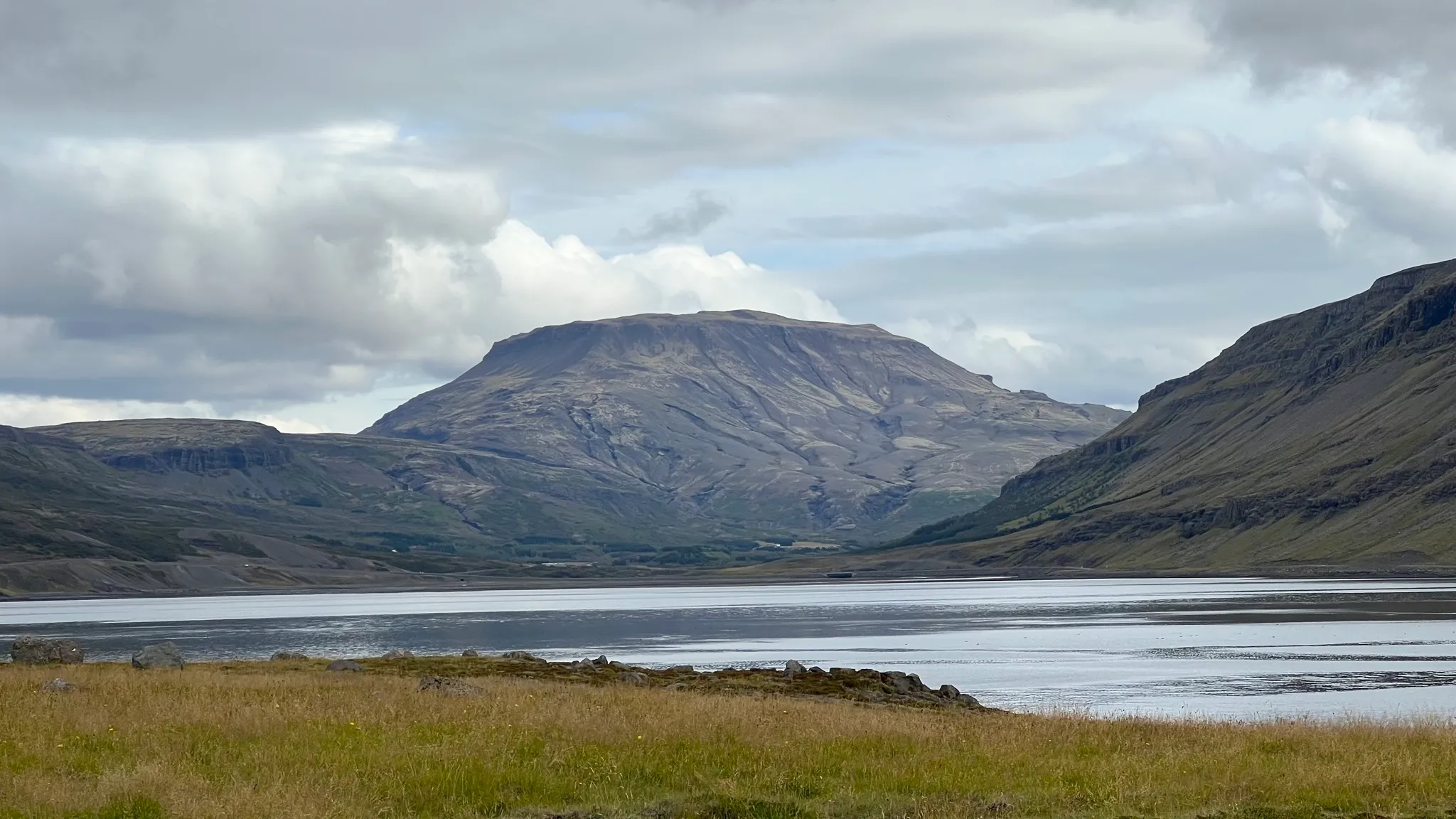
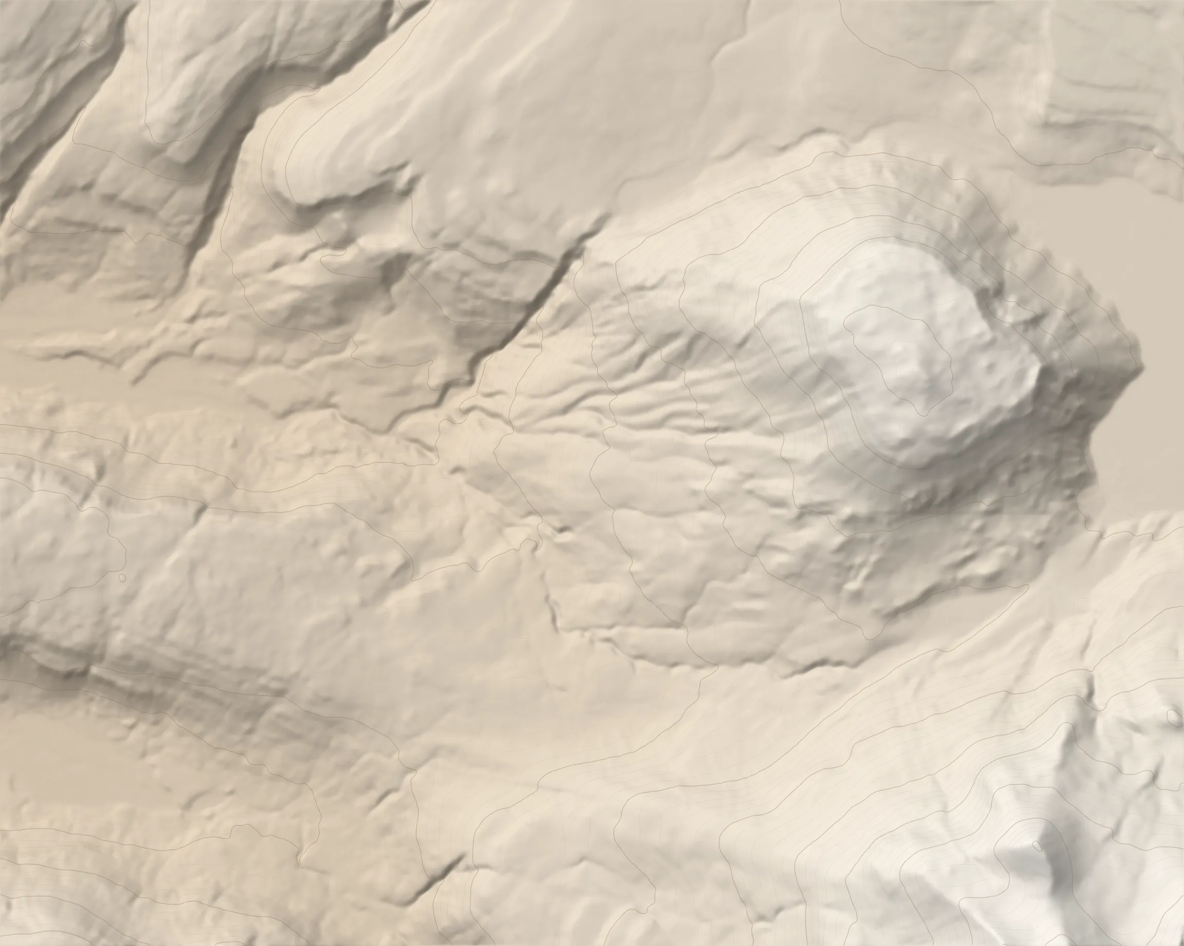
Hvalfell is the extinct remains of a subglacial volcano with a distinct flat-topped summit bed encircled by steep slopes on all sides. This hike starts in Botnsdalur and follows the very popular trail up the east side of the Glymur waterfall before veering eastward towards Hvalfell. Return via the south slope onto the Hvalskarð pass, then take the ancient Leggjabrjótur road back to the starting point.
After parking at the end of Botnsdalsvegur make your way to the west end of the parking lot. Go through a gate, then follow the signs for Glymur.
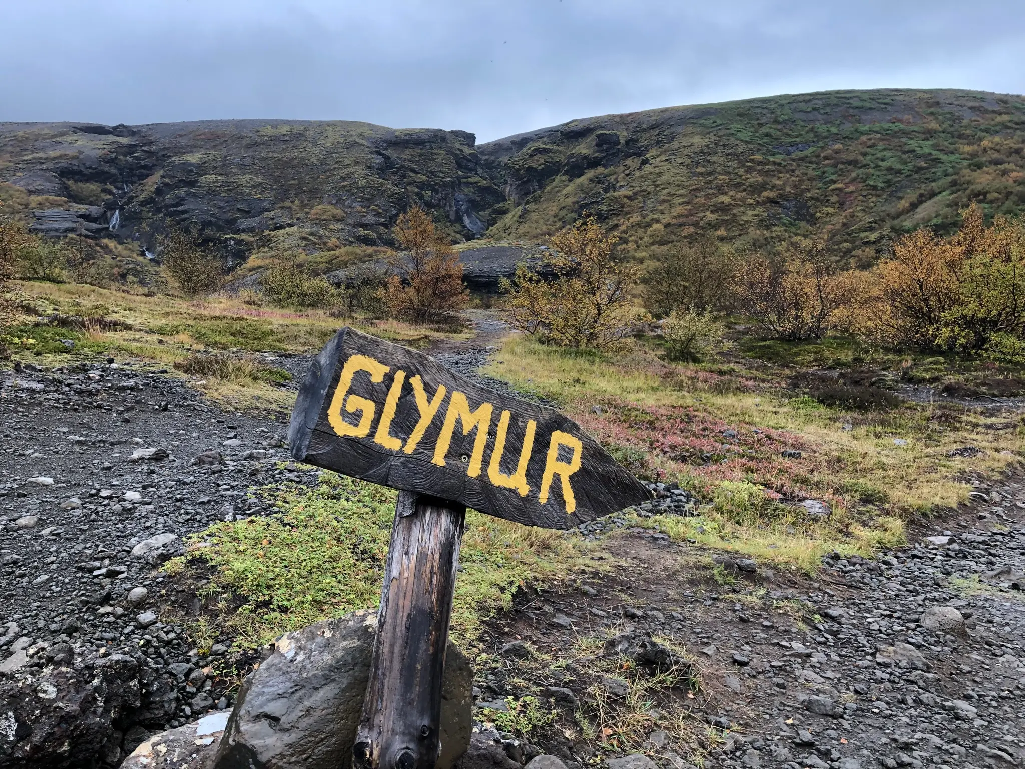
Keep going westward, ignoring trail spurs heading uphill on your left. At about 1.25km go through a natural cave named þvottahellir.
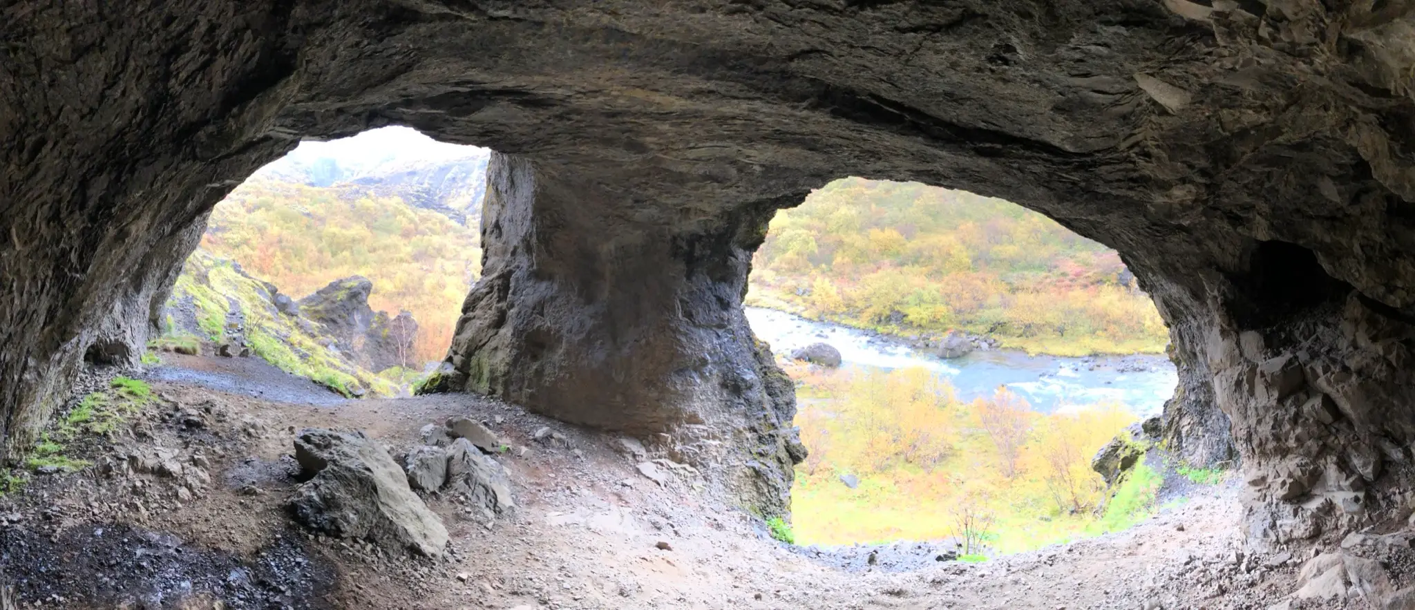
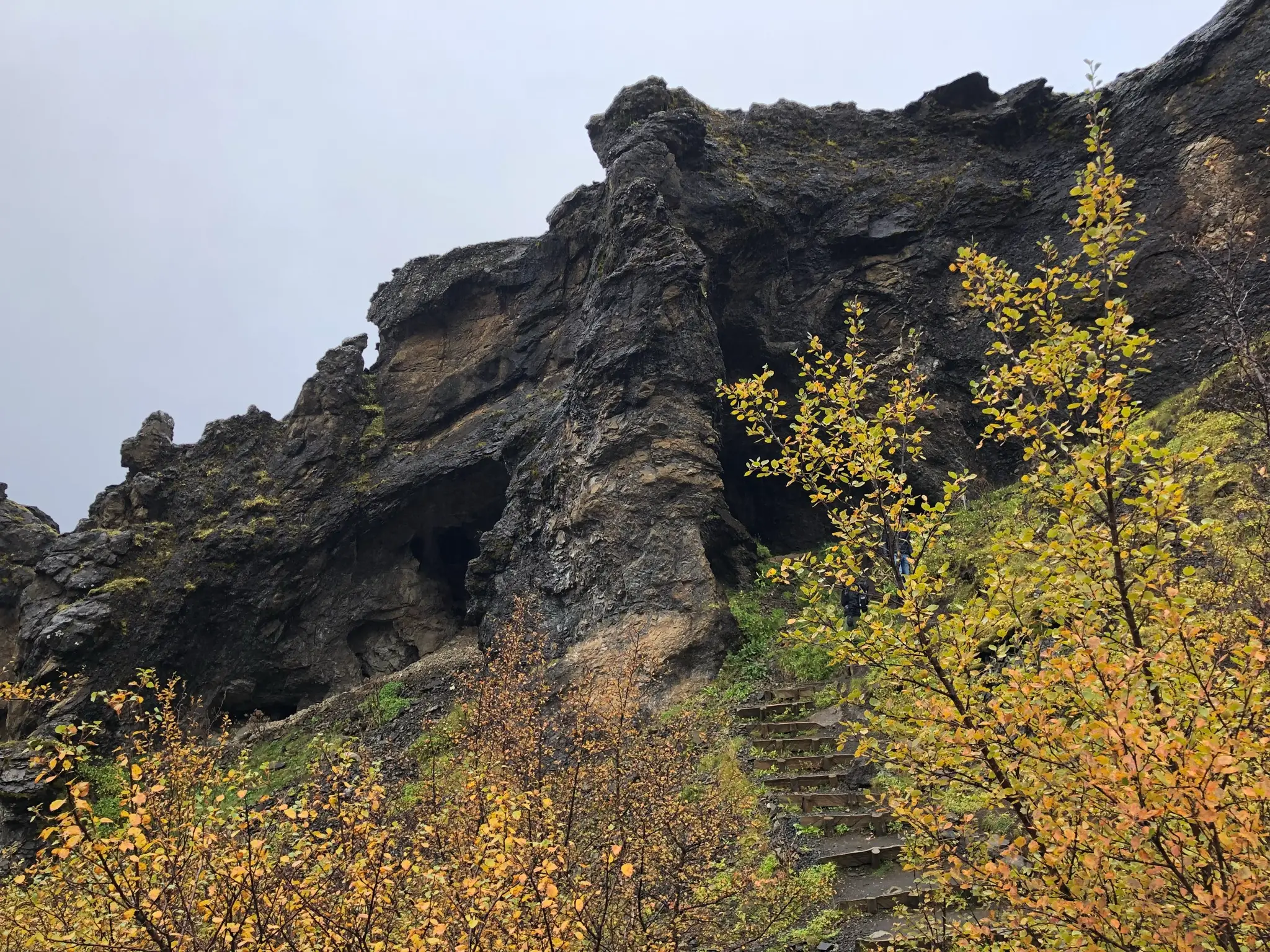
Upon emerging from the cave continue down a dozen or so steps to the river Botnsá.
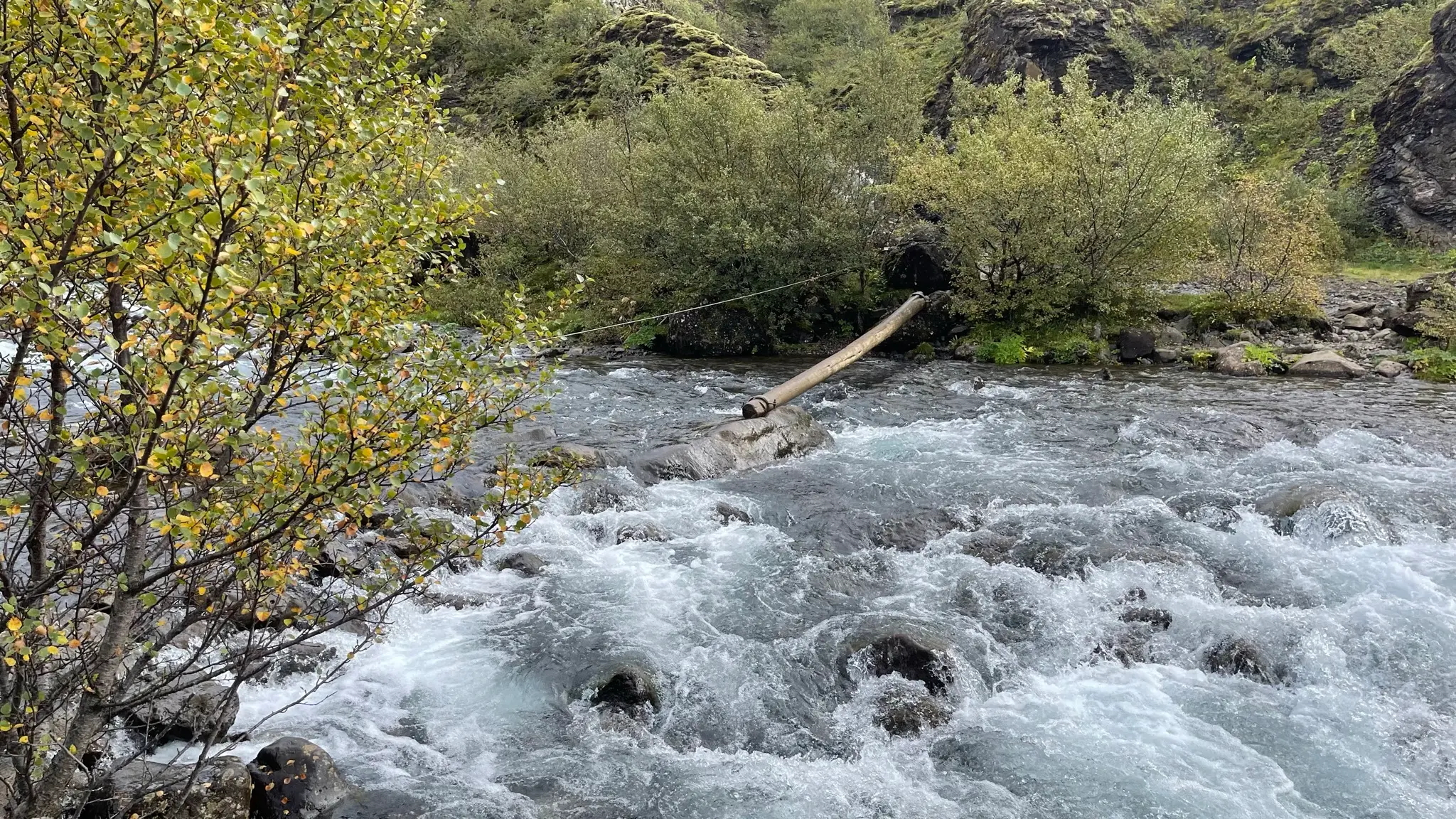
Crossing the river is in equal parts exhilarating and scary, especially early in the season when the water level is high. There is a cable stretched across to aid with balance. Additionally part of the river span is bridged by a wet but fairly stable log. Using the cable and the log means you won’t have to ford the fast moving water. However, care is still needed with foot placement and balance. Needless to say, waterproof shoes are essential.
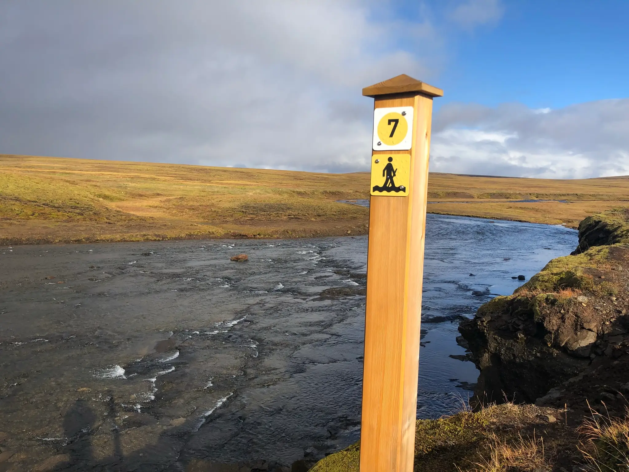
Alternatively you can head uphill on the west side of the canyon and cross upstream from Glymur. This option won’t give you the best views of Glymur; however, the river crossing upstream is much safer due to lower water volume and wider bed.
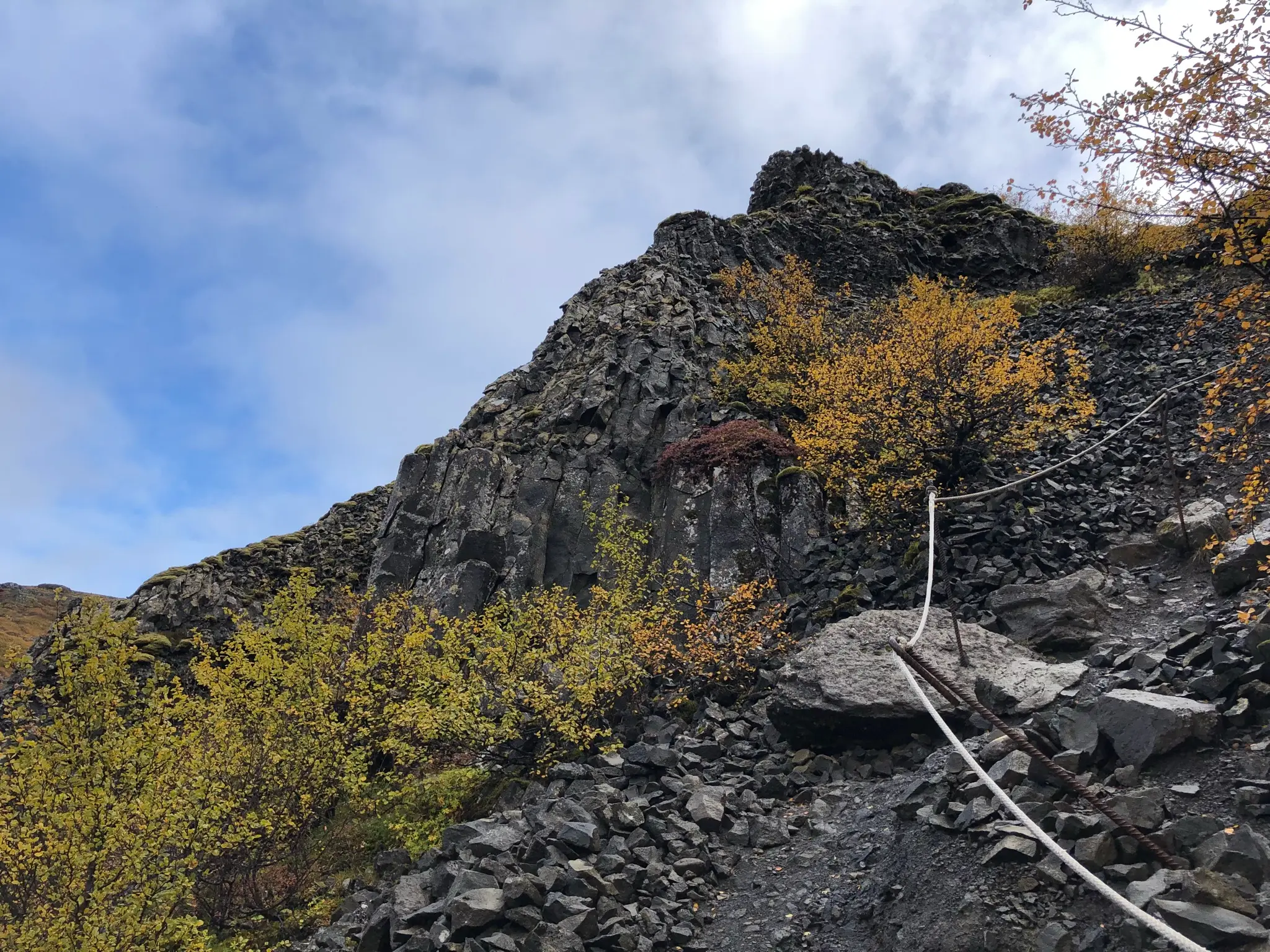
Once across follow the well trodden trail on the east side of the canyon. The track is steep and filled with talus. Due to overuse there are several sections that are heavily eroded.
There are several viewpoints along the way to spy on Glymur. The one at 2.15km allows a beautiful, albeit distant view of most of the length of the waterfall before the canyon walls obscure its lower reaches further uphill.
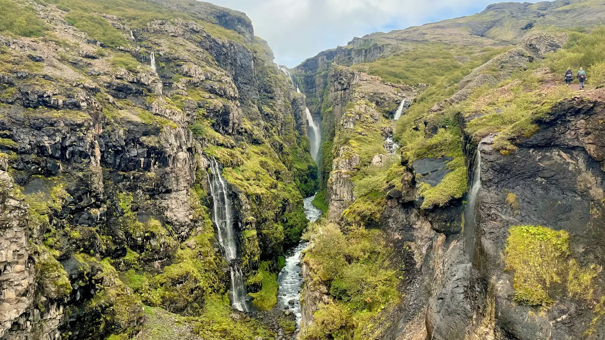
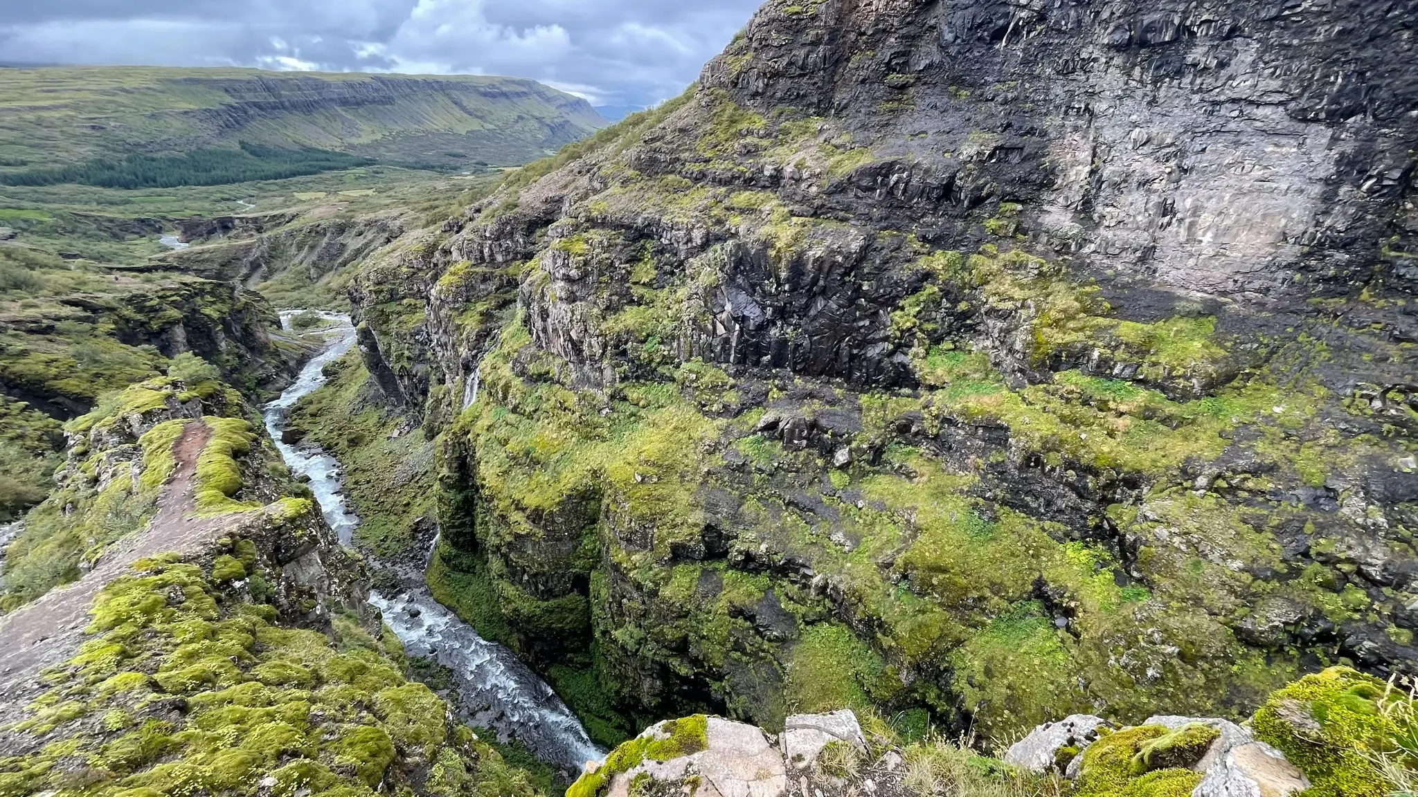
Pay attention to your footing near the viewing areas. The drop inside the canyon is steep and there are no guardrails.
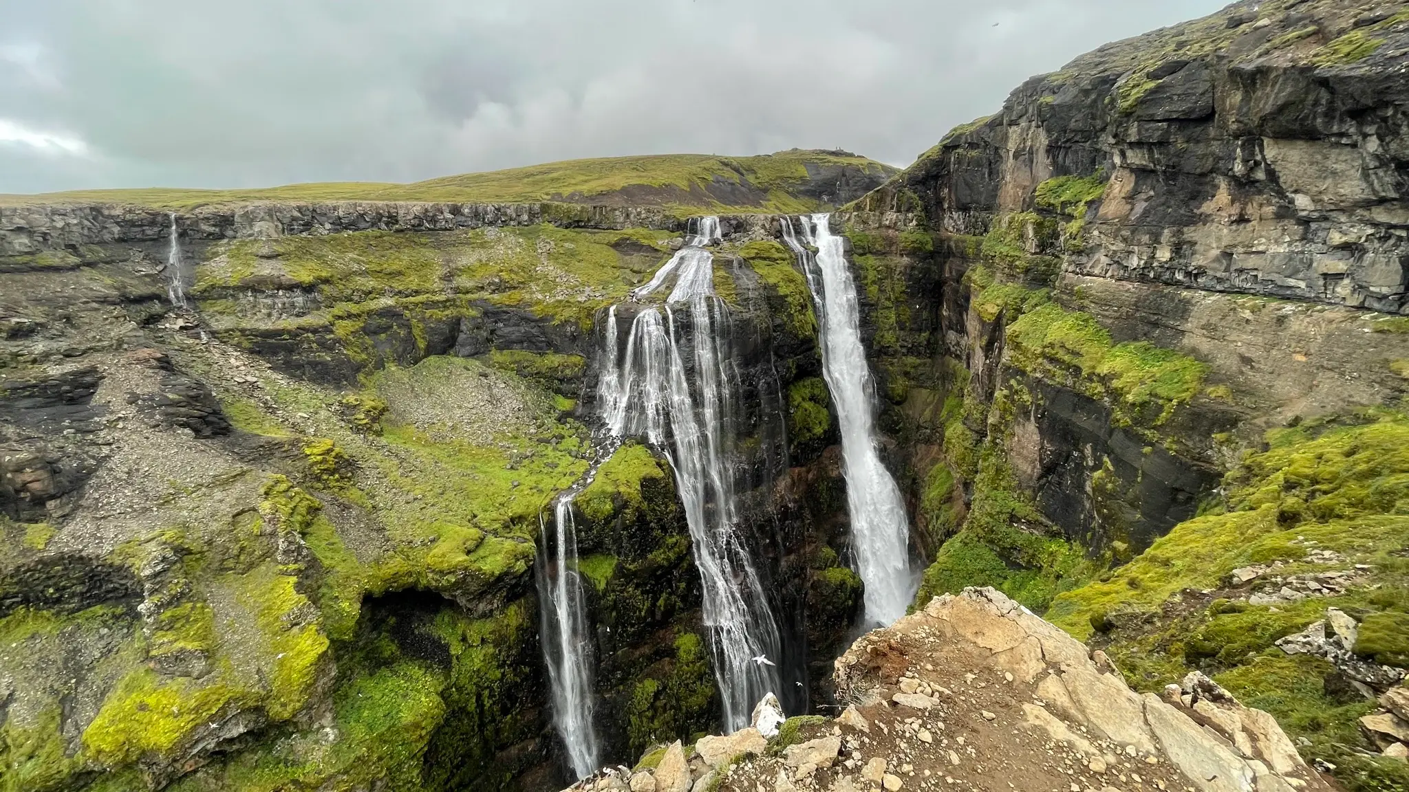
At around 3km from the start you will get the best close view of the waterfall’s top portion. It is truly a sight to remember and it justifies the trail’s popularity.
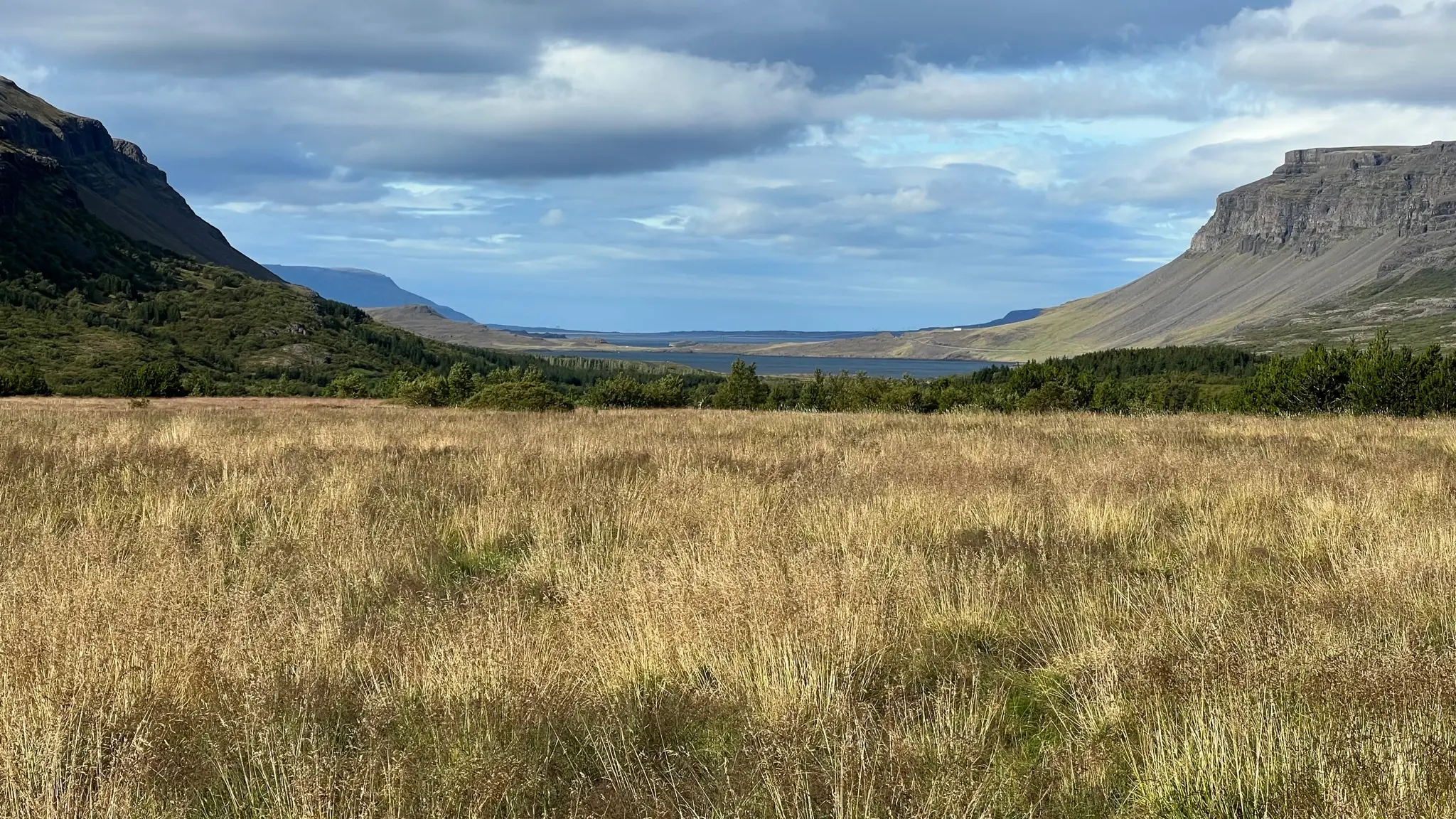
At about 3.3km from the start emerge above the waterfall and then turn westward towards Hvalfell right before the river trail skirts below an east - west ridge. Hvalfell’s lower slopes are partially vegetated and less steep than the Glymur path. Take a moment to look back towards the Botnsdalur valley leading to the Hvalfjörður inlet in the distance.
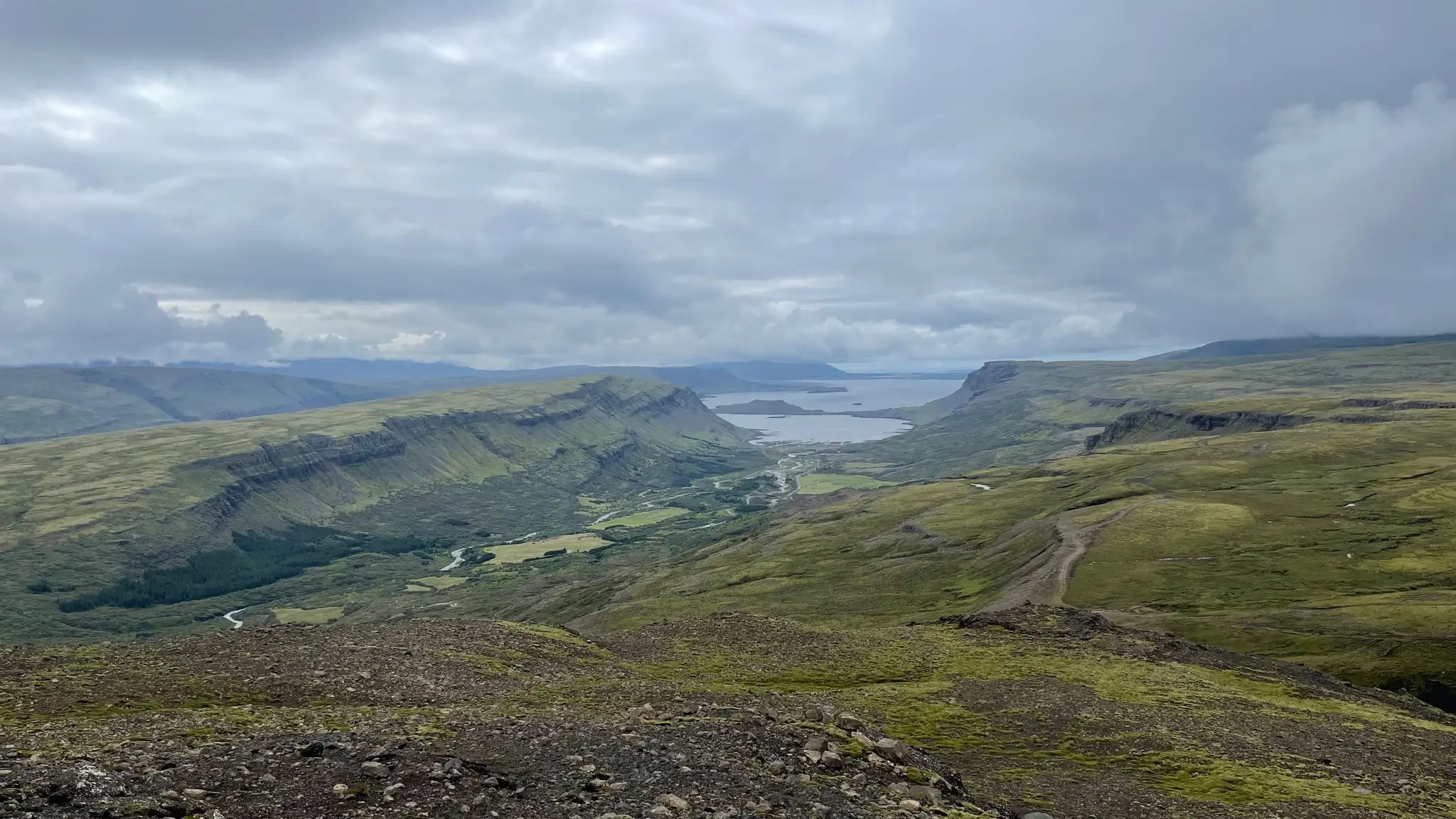
There are no visible path or trail indicators and you will have to use your judgment about navigating around several rocky protrusions. At around 4.6km and 650m a.s.l. you will encounter the steepest and most technical portion of the ascent up a loose scree slope. A somewhat defined trail is present for this portion making things slightly easier. At about 5km and 775m a.s.l. emerge on the rocky top plateau.
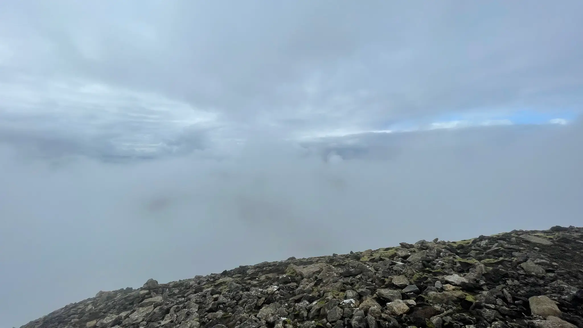
Continue SWW for another .7km to the highest point of the plateau. The summit is not very prominent but in good weather it should give you good views all around. When I visited, unfortunately the mountain top was shrouded by clouds. There are a few boulders near the top to be used as a lunch seating area or, if needed, as a wind shelter.
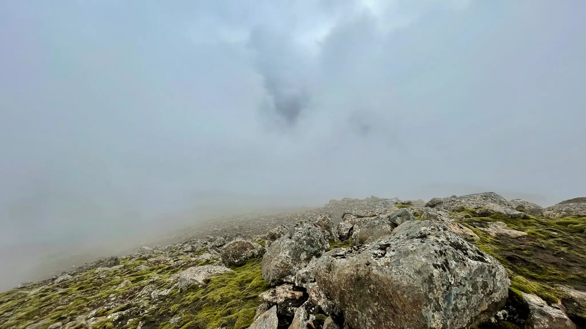
To return you have two choices. If you are uncomfortable with descending over steep, loose scree, return from Hvalfell over the same path, then cross Botnsá upstream from Glymur and follow one of the many paths on the west side of the Glymur canyon back to Botnsdalur.
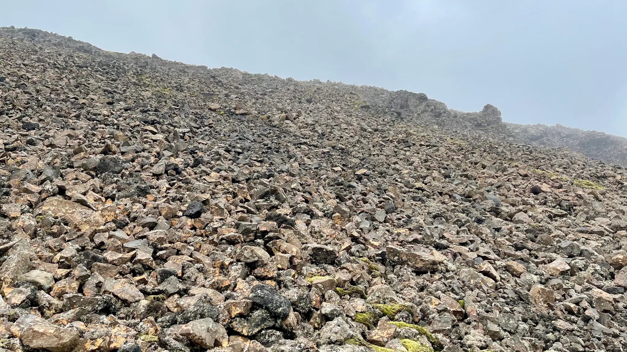
Alternatively, continue southward on the top plateau, descending gently until about 6.3km. There, plot a course through the loose scree field below. The difficult descent should not be underestimated. The rocks are resting precariously on top of each other with no soil to keep them in place. In a little more than 200m you will lose about 100m of altitude for an average grade of 45%. Proceed methodically, probing each step down for stability.
At 6.55km you will emerge from the scree field above a dark rocky ledge. Pause a moment to quiet down your wobbly legs and take in the gorgeous panorama ahead of you. Below, the pass between Hvalfell and the neighboring Botnssúlur range is called Hvalskarð. On the east side Hvalskarð ends with a vast glacial lake called Hvalvatn, a remnant of the ancient ice cap that used to cover this area. Hvalvatn is also the source of the Botnsá river, which you have crossed previously on the way to Glymur. The river flows around the north side of Hvalfell.
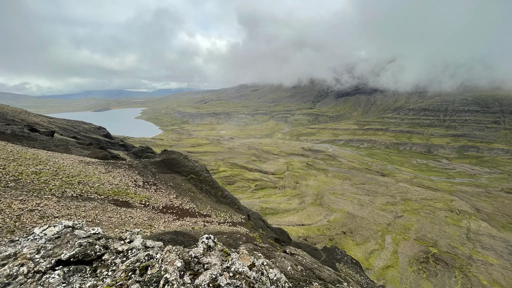
Directly across the pass the mighty Botnssúlur range tops 1000 m and is another excellent walk from Botnsdalur. From this vantage point the closest peak in that range is the Norðursúla, with Vestursúla visible behind it. As is the case with Hvalfell, the Botnssúlur peaks are often obscured by low clouds.
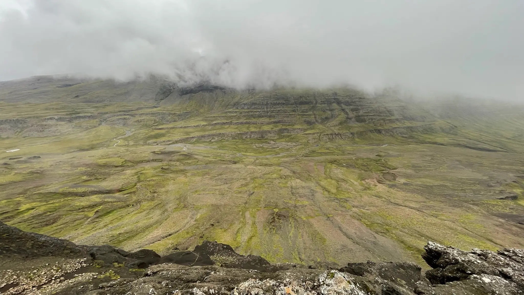
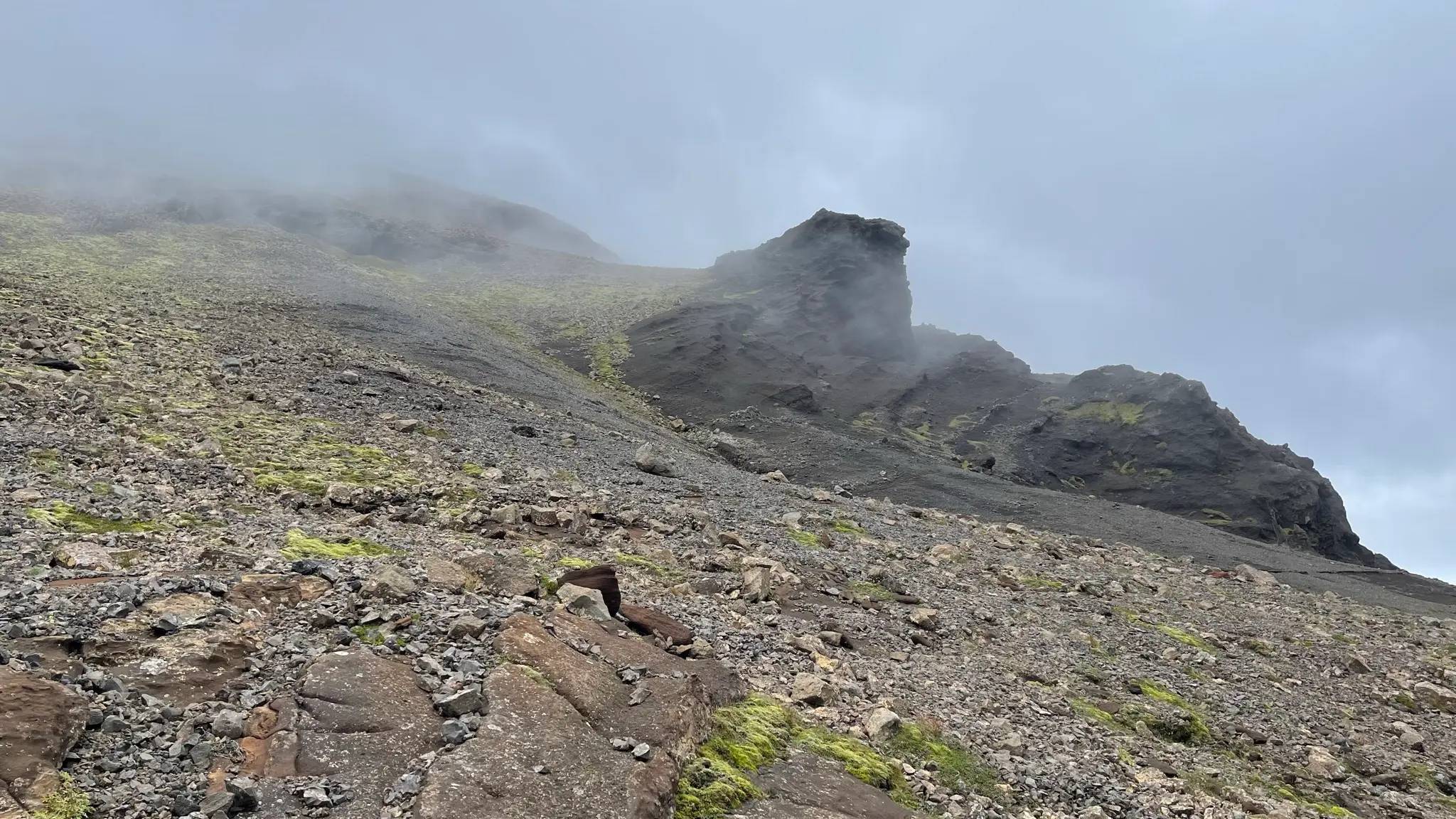
To continue your descent turn westward, navigating around the rocky protuberances. The grade is equally steep but timid patches of vegetation fix the rocks in place, making things a bit easier than before.
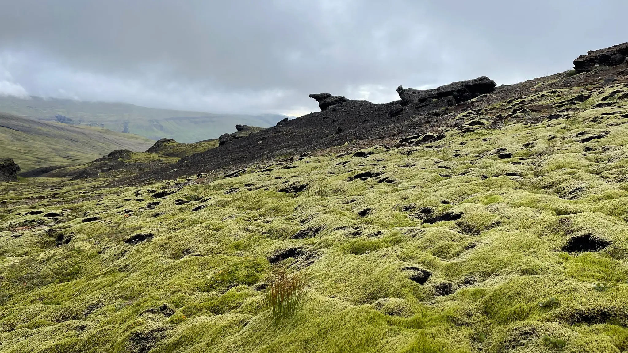
At lower altitudes the stony ground is covered by a superb, thick carpet of neon-green moss.
Continue southward into the valley. At the bottom of it, a tributary to Botnsá, named Hvalskarðsá, bisects the landscape. Cross the stream at around 7.75km from the start, while its volume is still manageable and its banks are not all that steep.
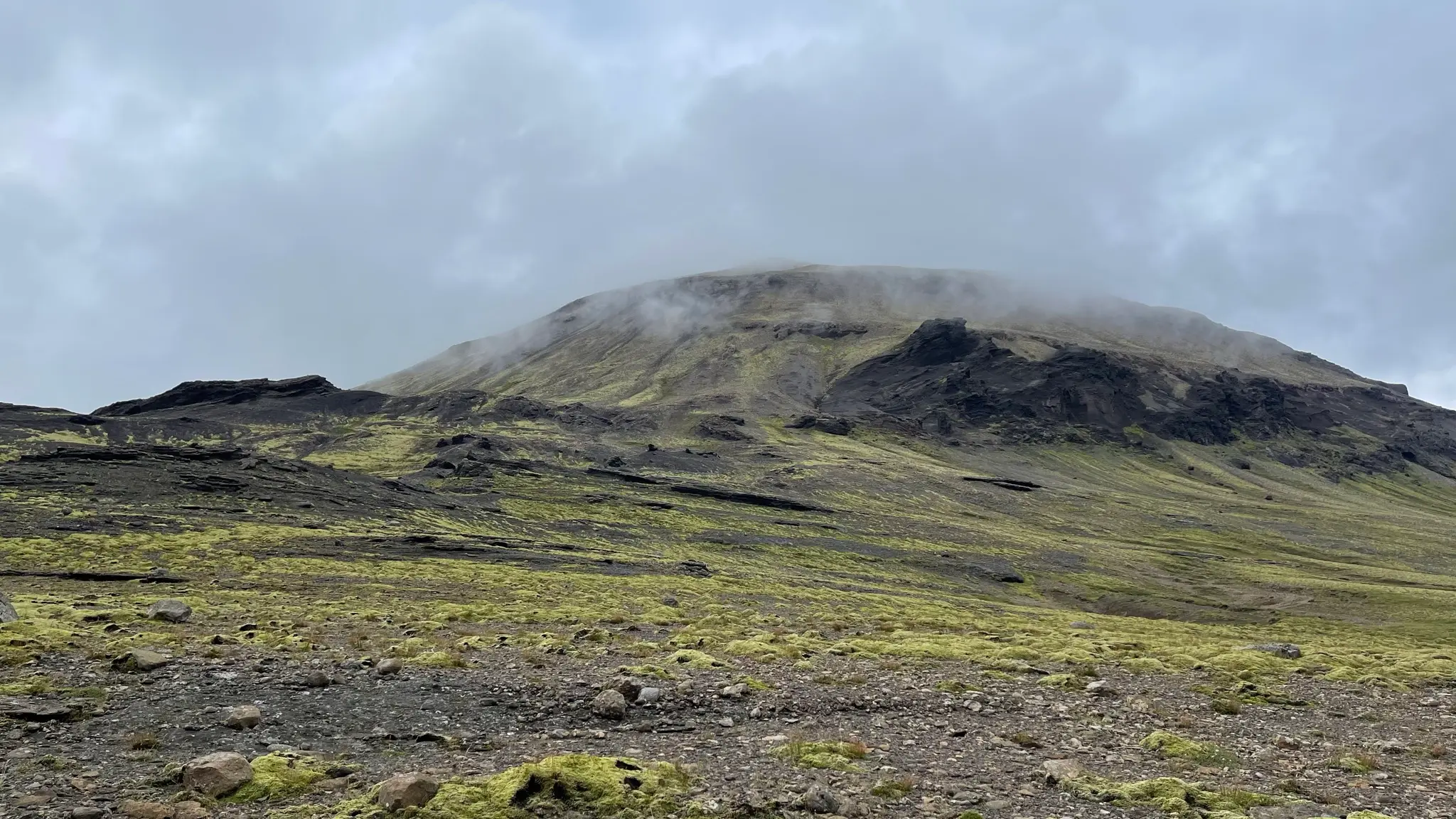
On the south side of Hvalskarðsá look for a faint track leading westward, roughly following along the left bank of the stream.
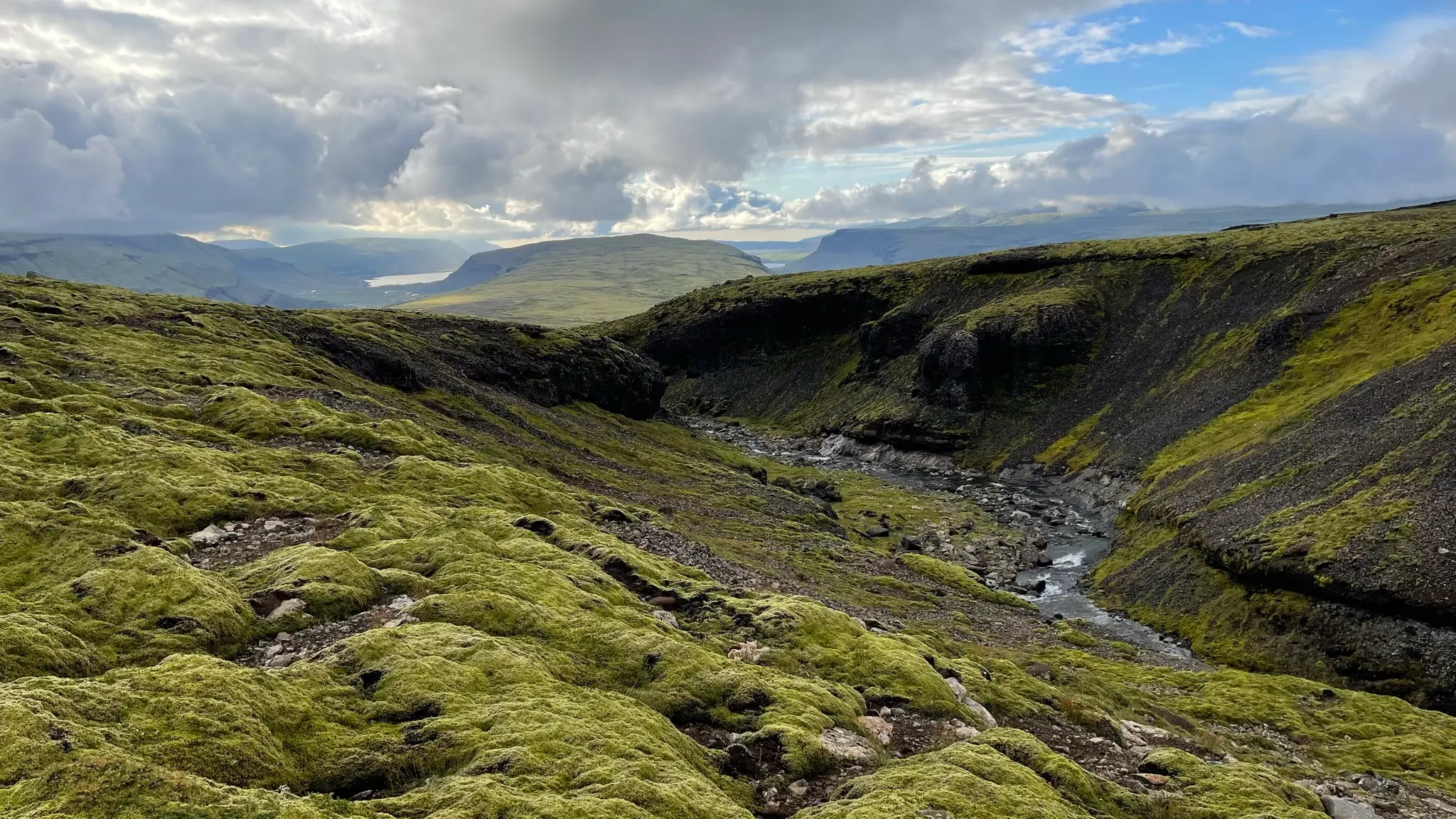
You will have to cross several small tributaries, including a more sizable one at 10.15km. At 10.25km turn north on Leggjabrjótur - an old path that used to connect Hvalfjörður to þingvellir. Shortly after picking up the track use a stile to cross over a fence, then follow the road downhill.
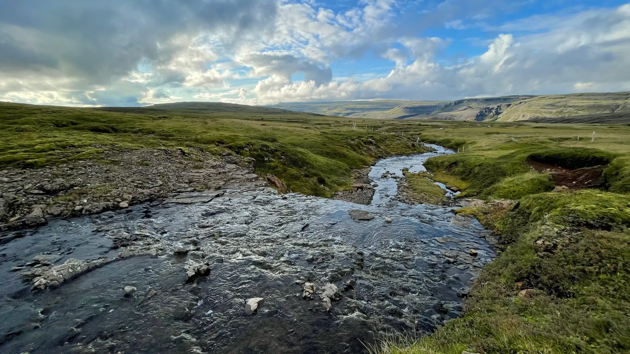
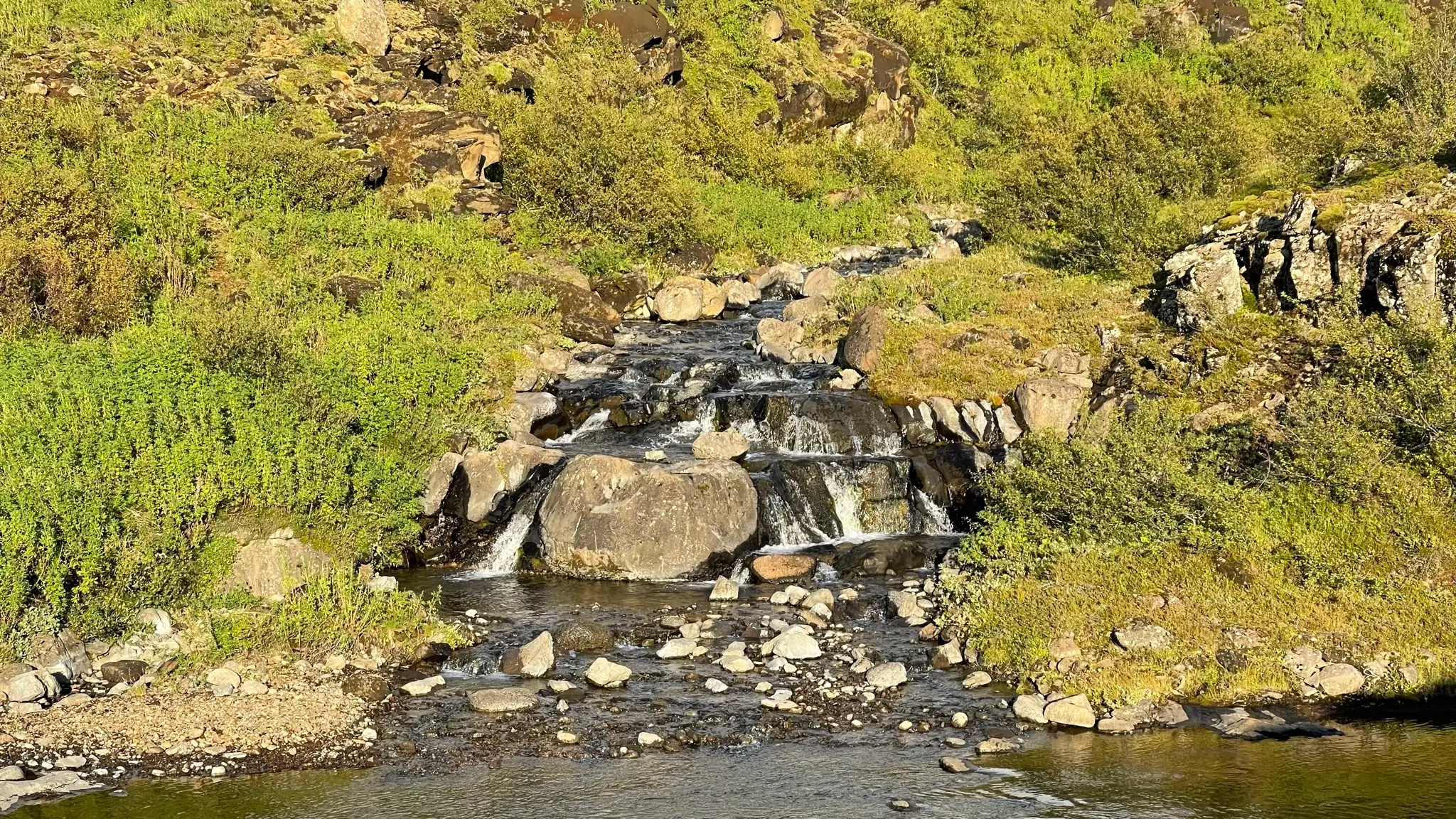
Cross the unnamed tributary a couple more times, then follow the dirt road as it angles westward. Starting at 11.5km the road tracks very close to Hvalskarðsá and several charming waterfalls are visible from the areas adjacent to it.
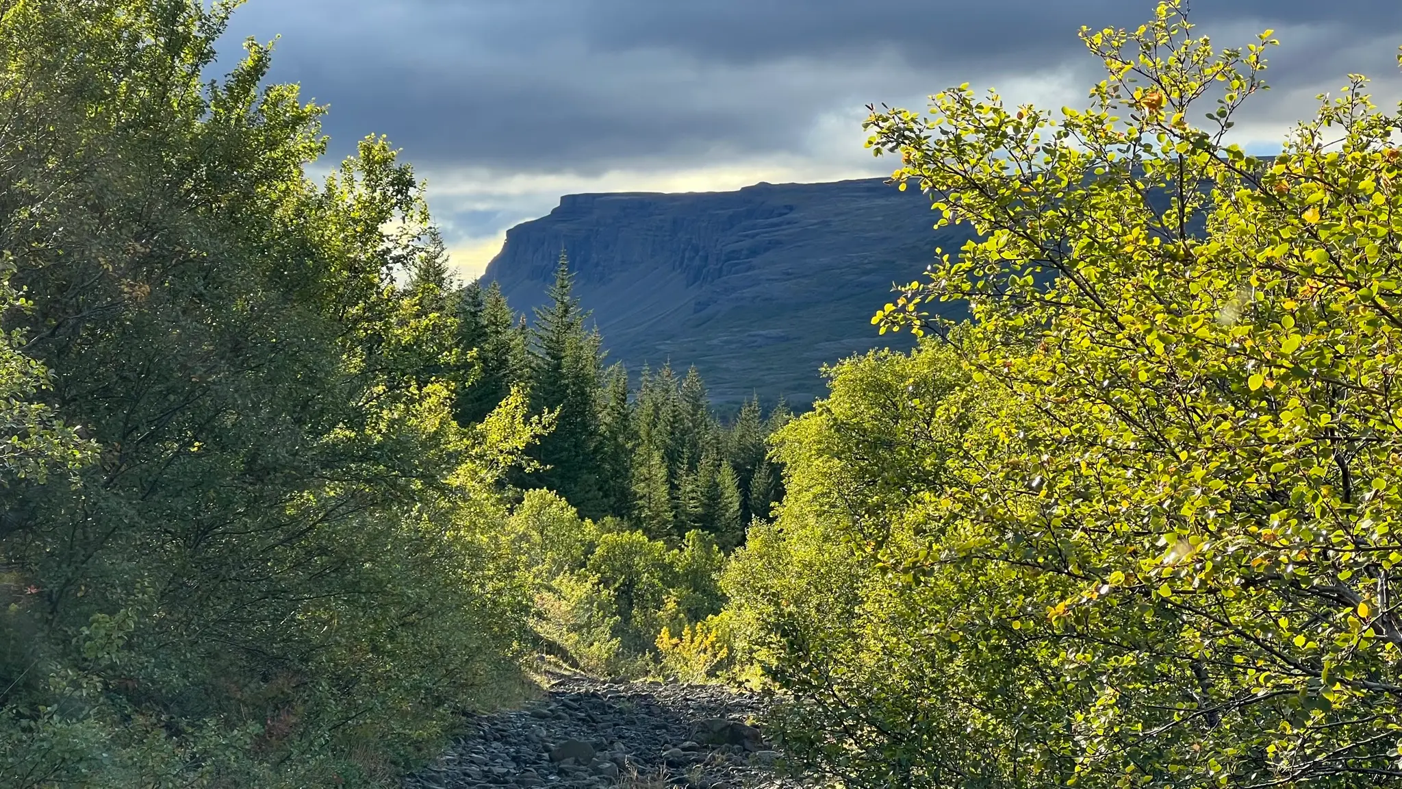
Close to the 12km mark Leggjabrjótur passes through a mixed wood forest before emerging on the south bank of Botnsá.
Cross the river via a footbridge, then continue north through a meadow back to the starting point. You will bypass a boarded up hangar that was employed as ammunition storage by the British during the Second World War.