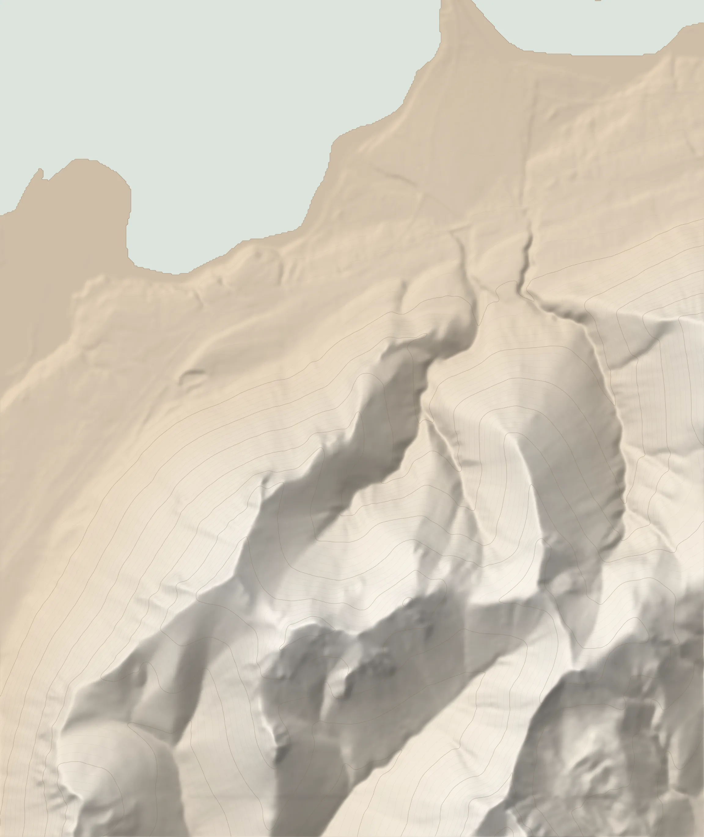
The route
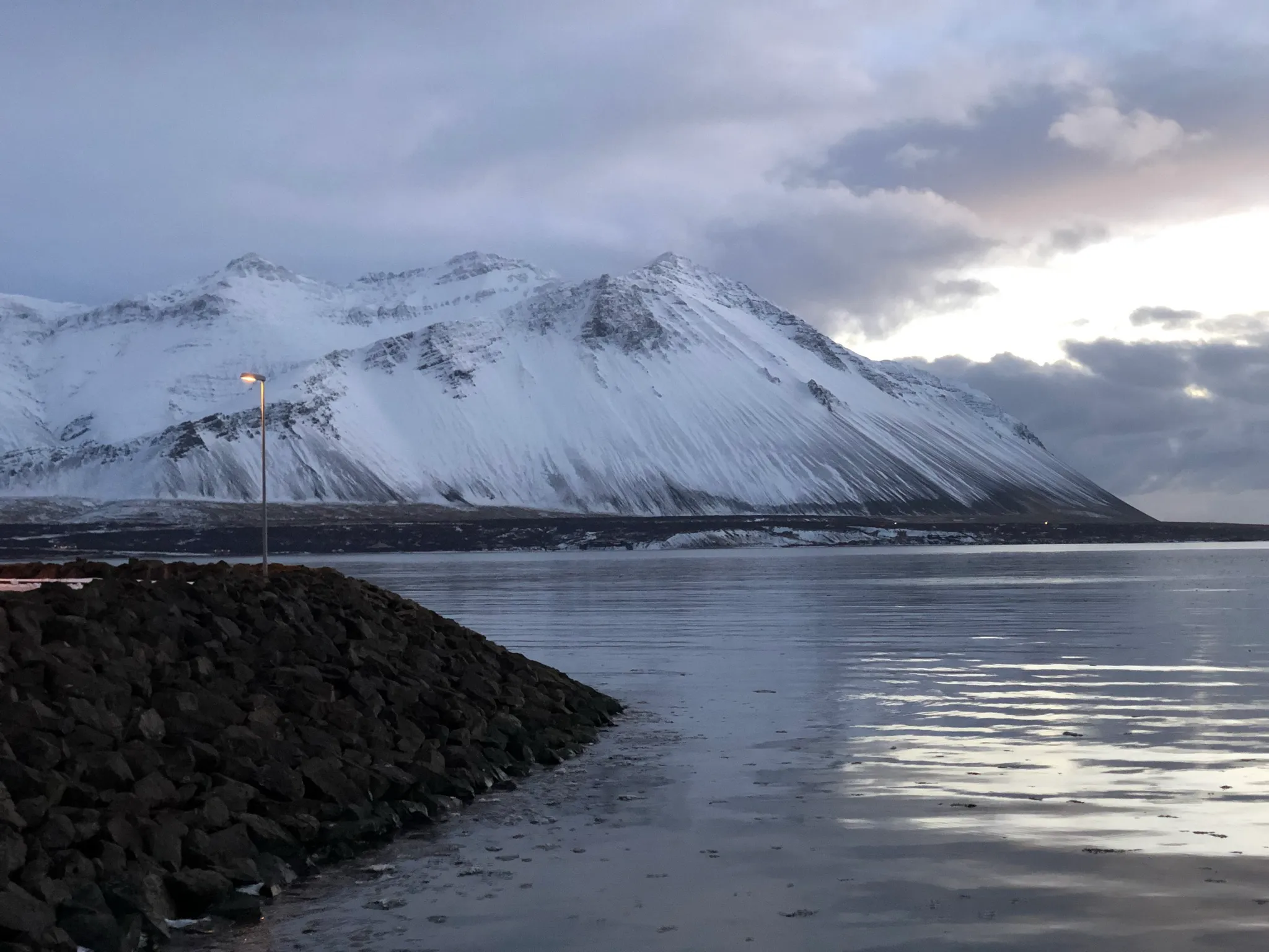
Hafnarfjall looms large above a good stretch of the Ring Road leading into Borgarnes from Reykjavík. This oft photographed mountain is easier to summit than what shows on the road side, but it is still a moderately challenging endeavor effort wise. Compounding the challenge, the ridge is exposed to strong westerly winds, making it a safe choice for calm weather only. On a clear day the views are awe inspiring, with everything from Borgarnes all the way to the top of the Snæfellsnes peninsula in view.
Starting from the newly improved parking area, head eastwards along a minor gravel road for about .4km, then turn right on a farm dirt track.
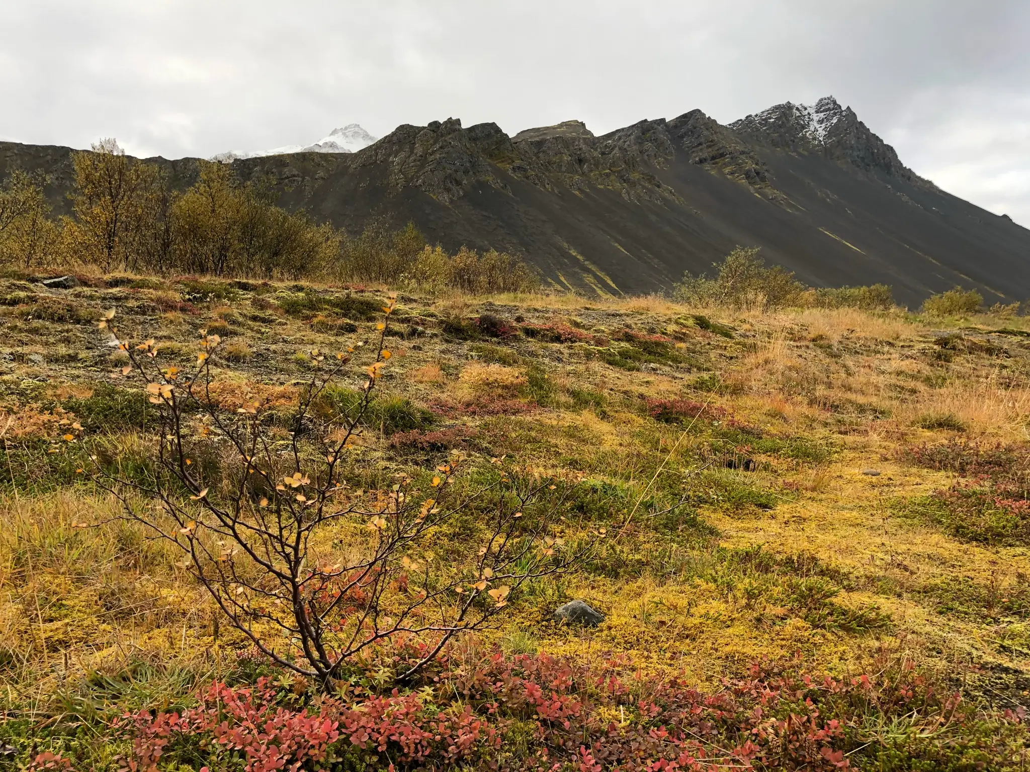
This track takes you towards the massif proper. At about the .9km mark bypass a small pond on the right.
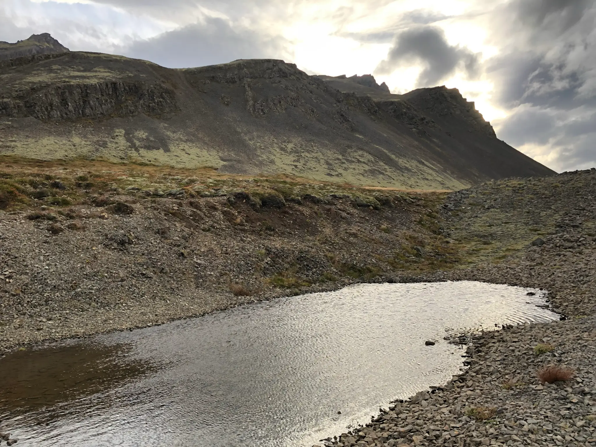
Continue on the dirt track into the inner valley. To your left, bordered by a fence, a small stream named Ytra-Seleyrargil separates the rocky versants.
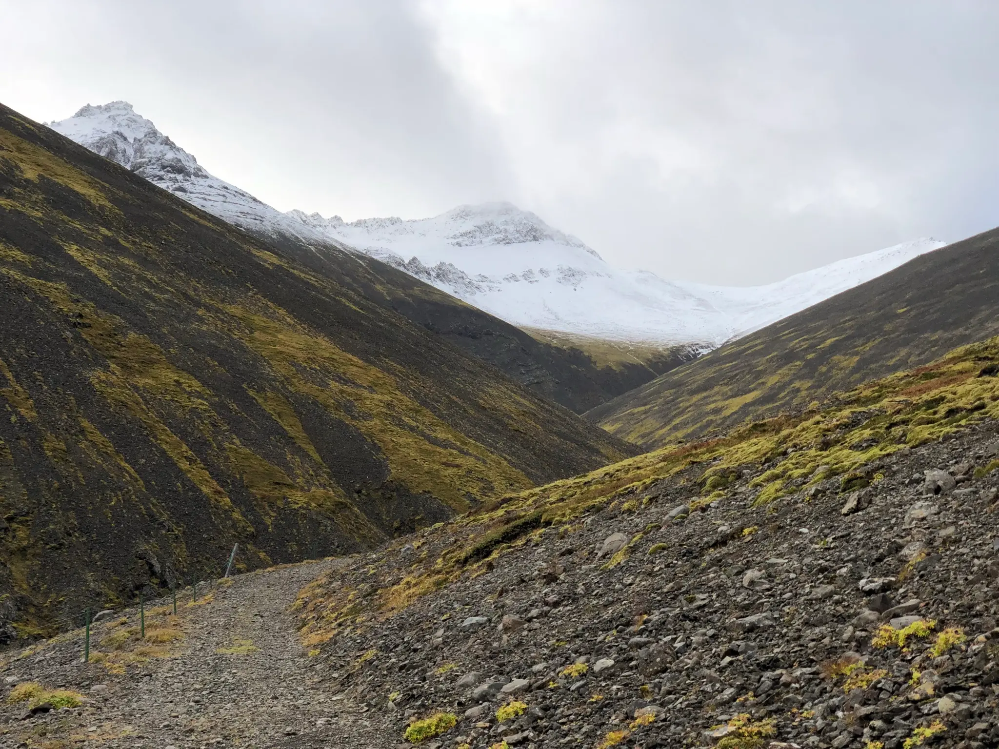
The track ends at about the 1.4km mark. To your left, you will see a small dam and old hydro power station on the Ytra-Seleyrargil.
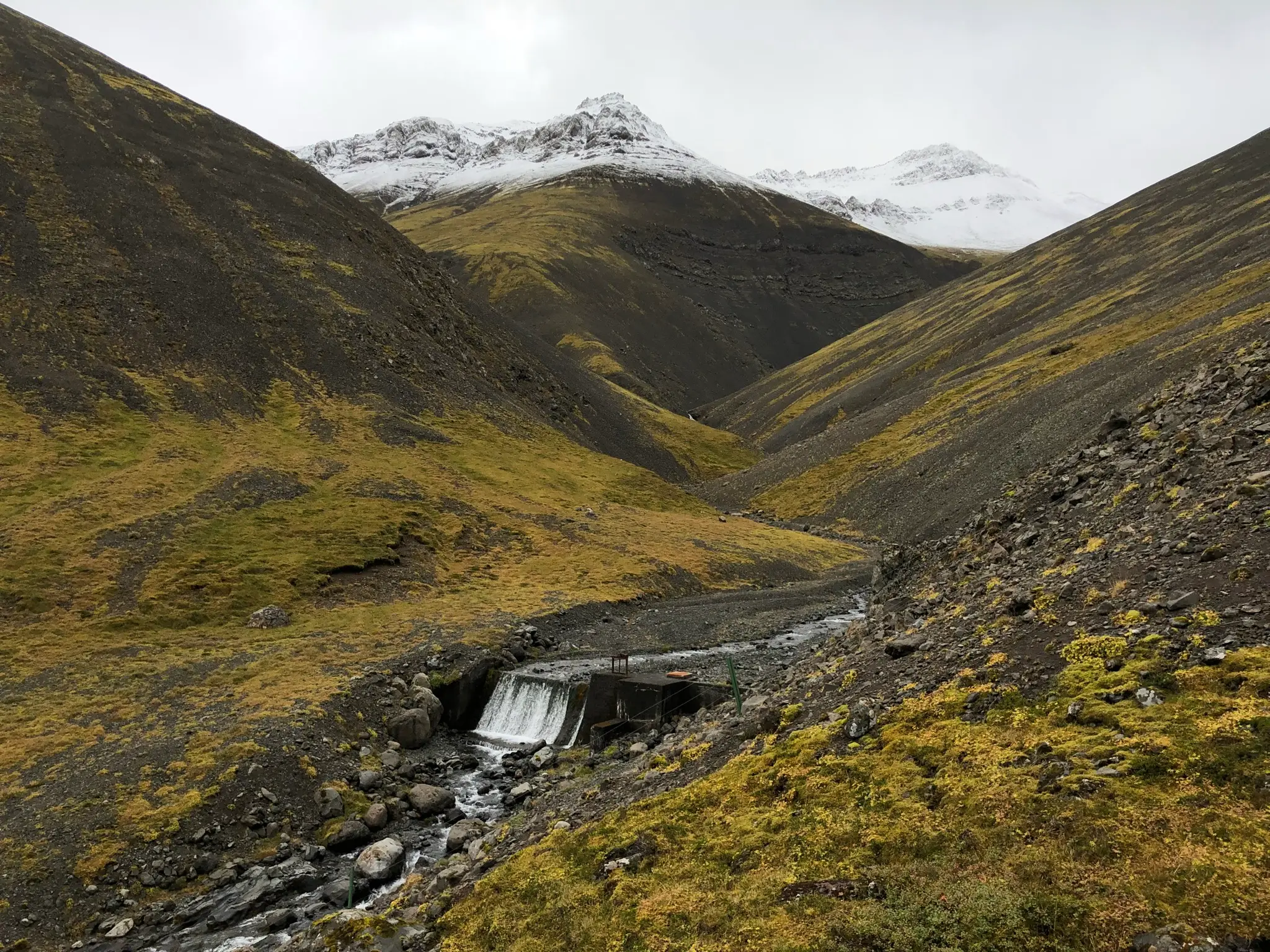
Instead of continuing to follow the stream, head due east. Initially the well formed path follows along a small brook.
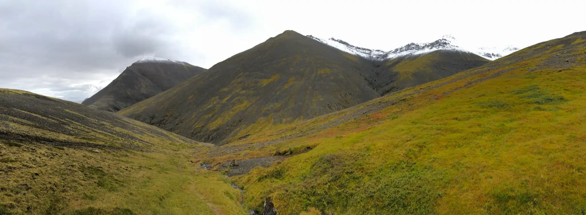
Eventually, the trail angles NW heading for the ridge. You will reach the ridge at 1.7km and about 210m a.s.l. in an area named Steini („Stone”). The obvious landmark here is a boulder perched atop the ridge.
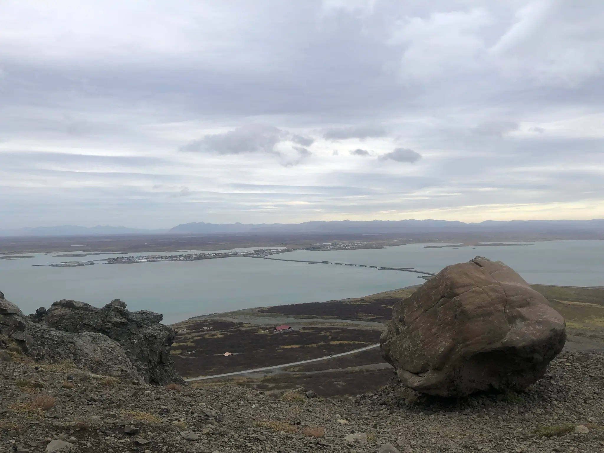
The views towards the Borgarfjörður inlet and the town of Borgarnes are already majestic. They will accompany you and get grander as you ascend along the ridge for the rest of the climb.
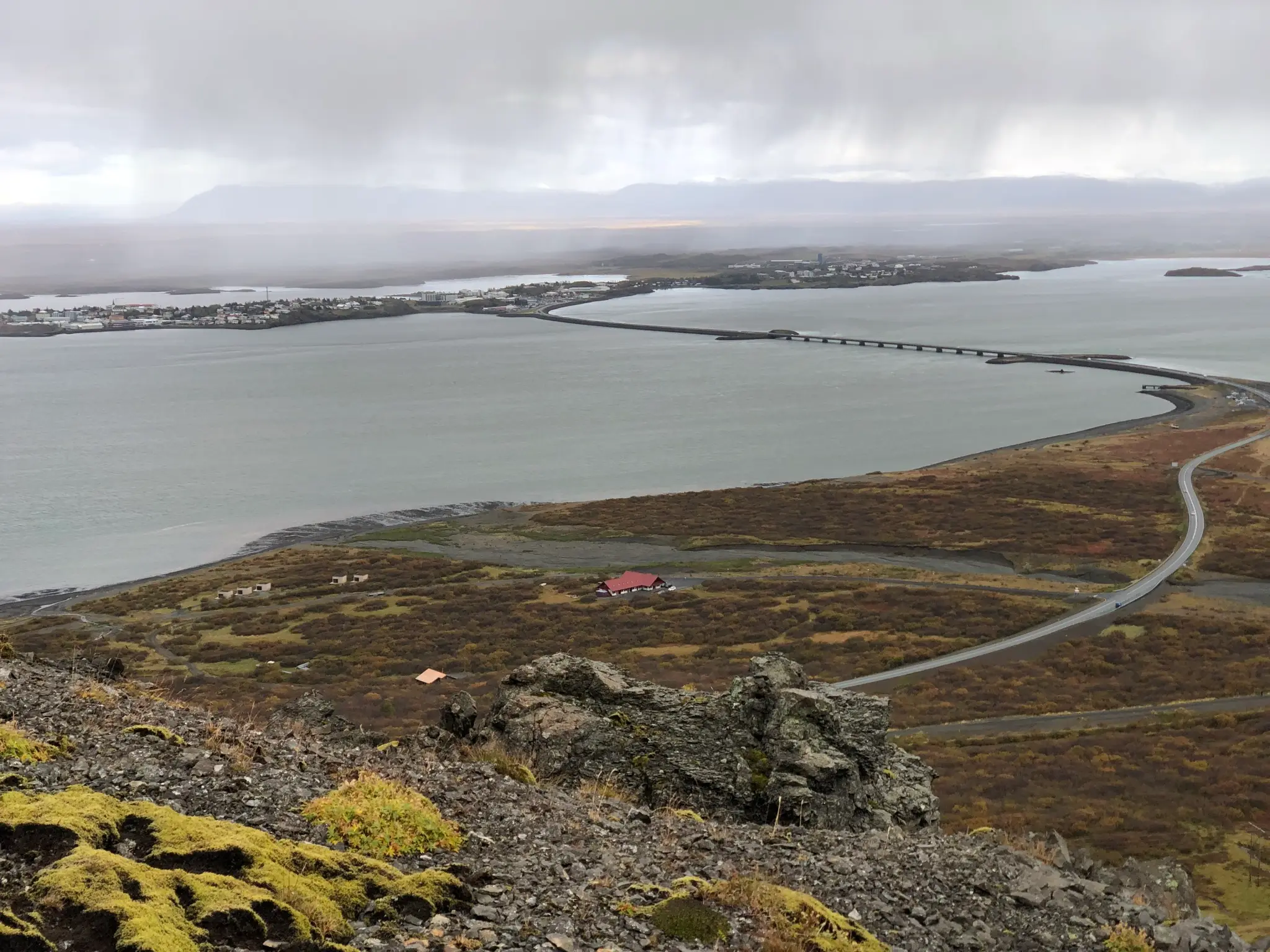
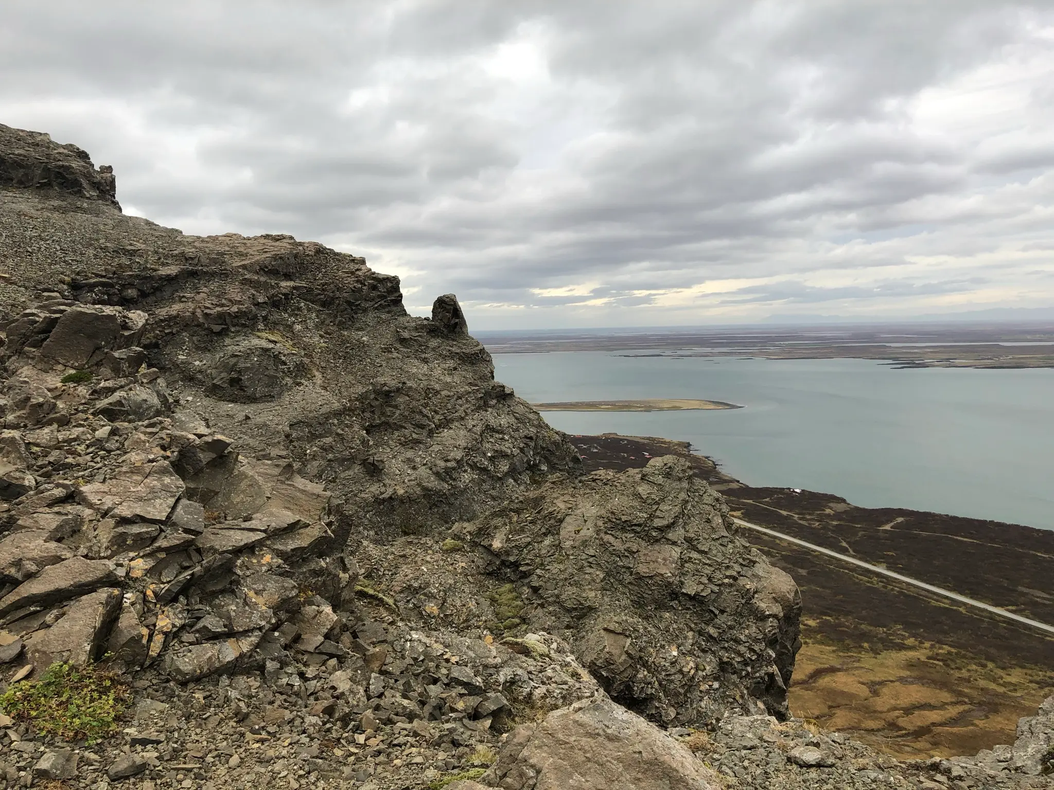
For the most part the grade is moderate and the occasional steep section has switchbacks. Take time to admire the sheer cliffs adorning the north-west versant of the mountain.
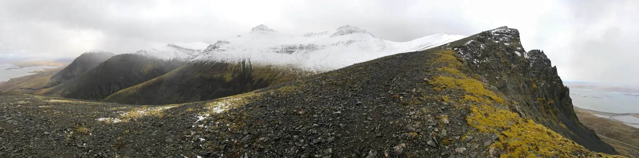
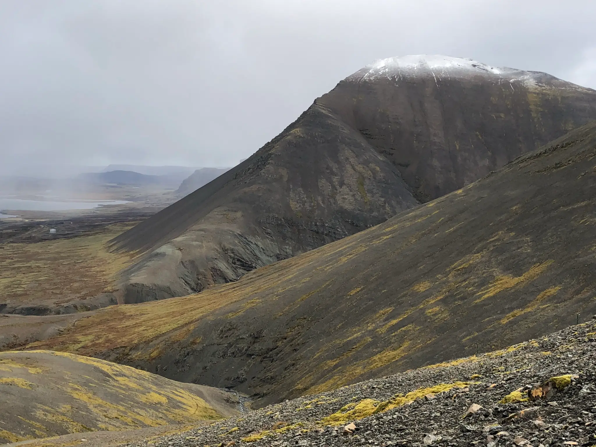
Looking behind, the view is dominated by the dark profile of Tungukollur (670m), a steep basaltic scree mountain. Tungukollur completes the „7 peaks hike” that starts with Hafnarfjall and runs through the inner peaks of the Hafnarfjall massif. This hike is considerably harder, both in terms of effort and navigation, and is best left for a subsequent visit to the area.
To the left of Tungukollur the inner reaches of Borgarfjörður continue inland. Across the water in the distance you may be able to distinguish the pointy silhouette of Baula (934m), a standalone rocky peak in the west highlands.
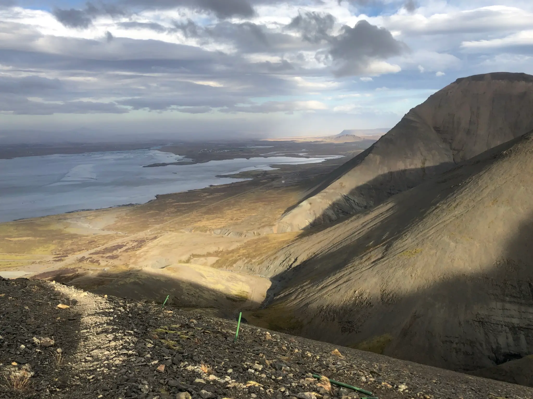
To the right of Tungukollur sharp inner ridges are divided by deep valleys.
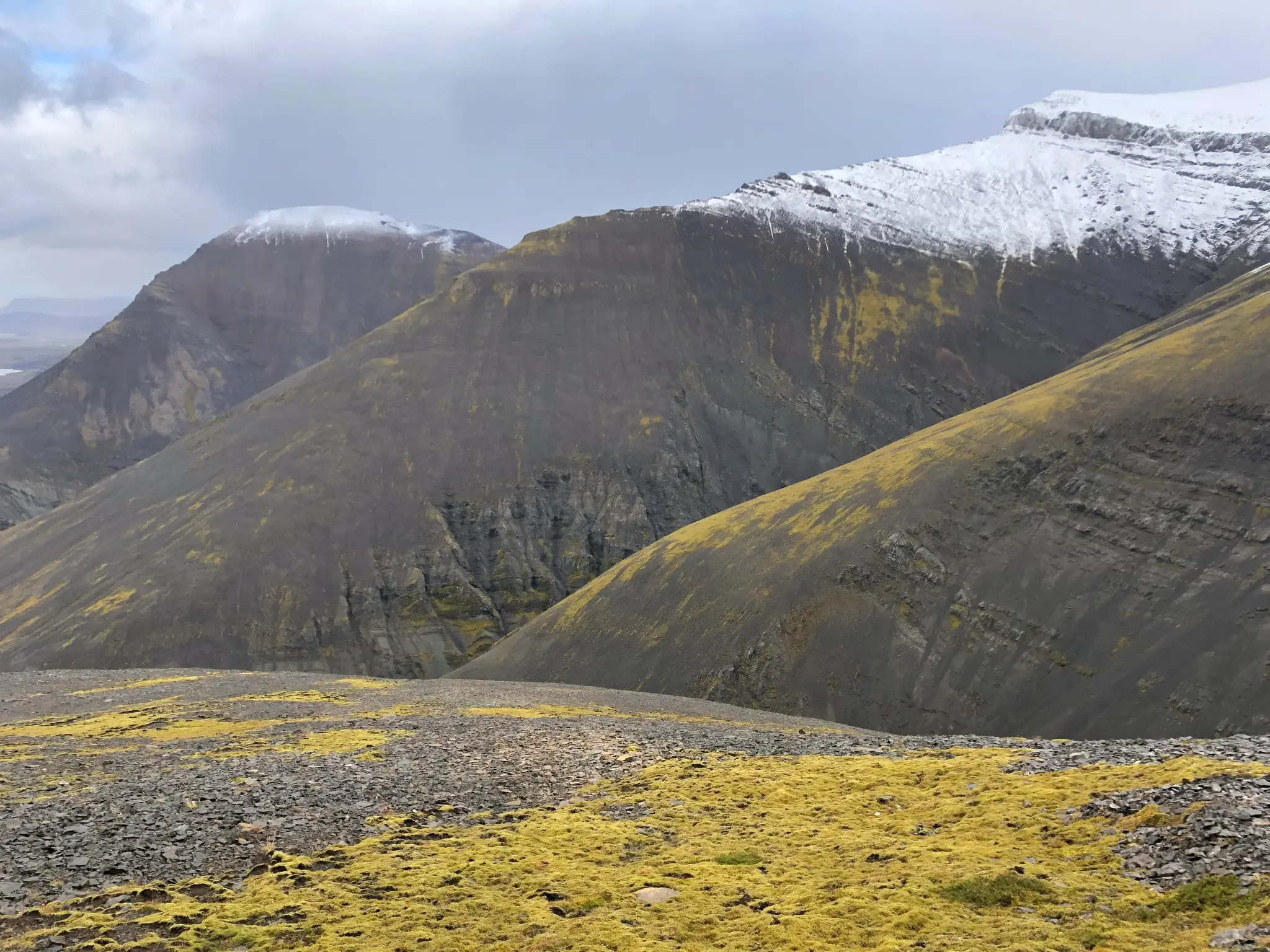
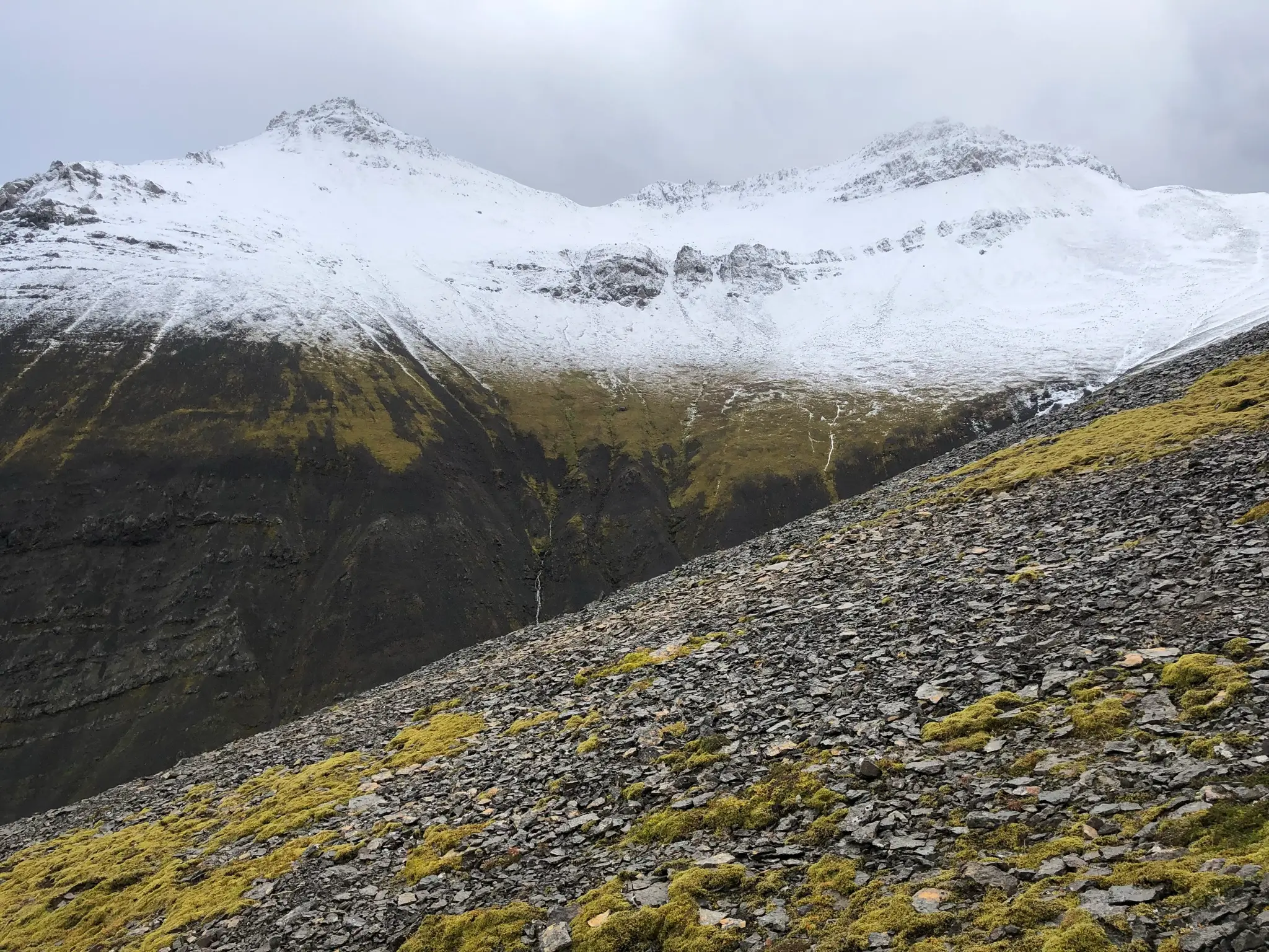
Ahead of you, two rocky peaks come into view. The right one, named Gildalshnúkur, is the tallest in Hafnarfjall at 844m. The left, unnamed one is slightly smaller at just over 800m.
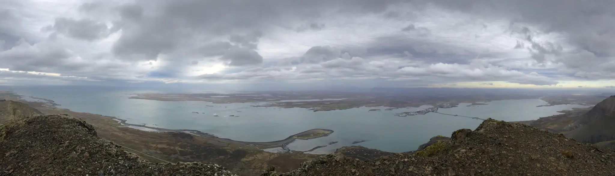
On your right, bordered by the sheer cliffs of Hafnarfjall, the view is magnificent. Beyond the thin line of the Ring Road, Borgarfjörður is beautifully complex, with several peninsulas dotting the edges. One of those hosts the town of Borgarnes. Its position, encircled by water on all sides, looks quite precarious from up here.
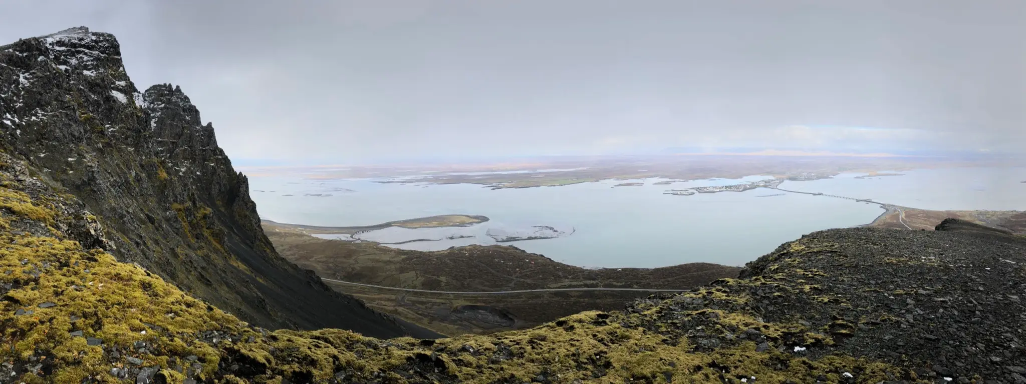
Underfoot the terrain progresses from vegetated patches to rubble. The trail generally follows the ridge line, staying at a safe distance from the steep edge.
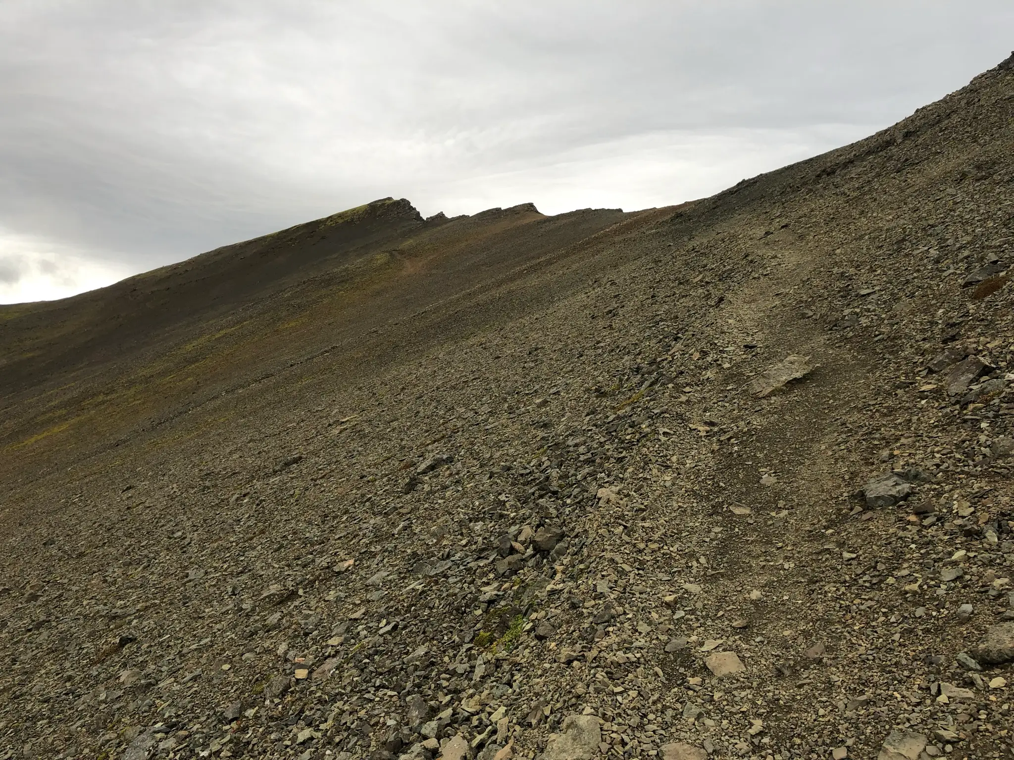
This being Iceland, snow is possible at higher elevations even in the fall.
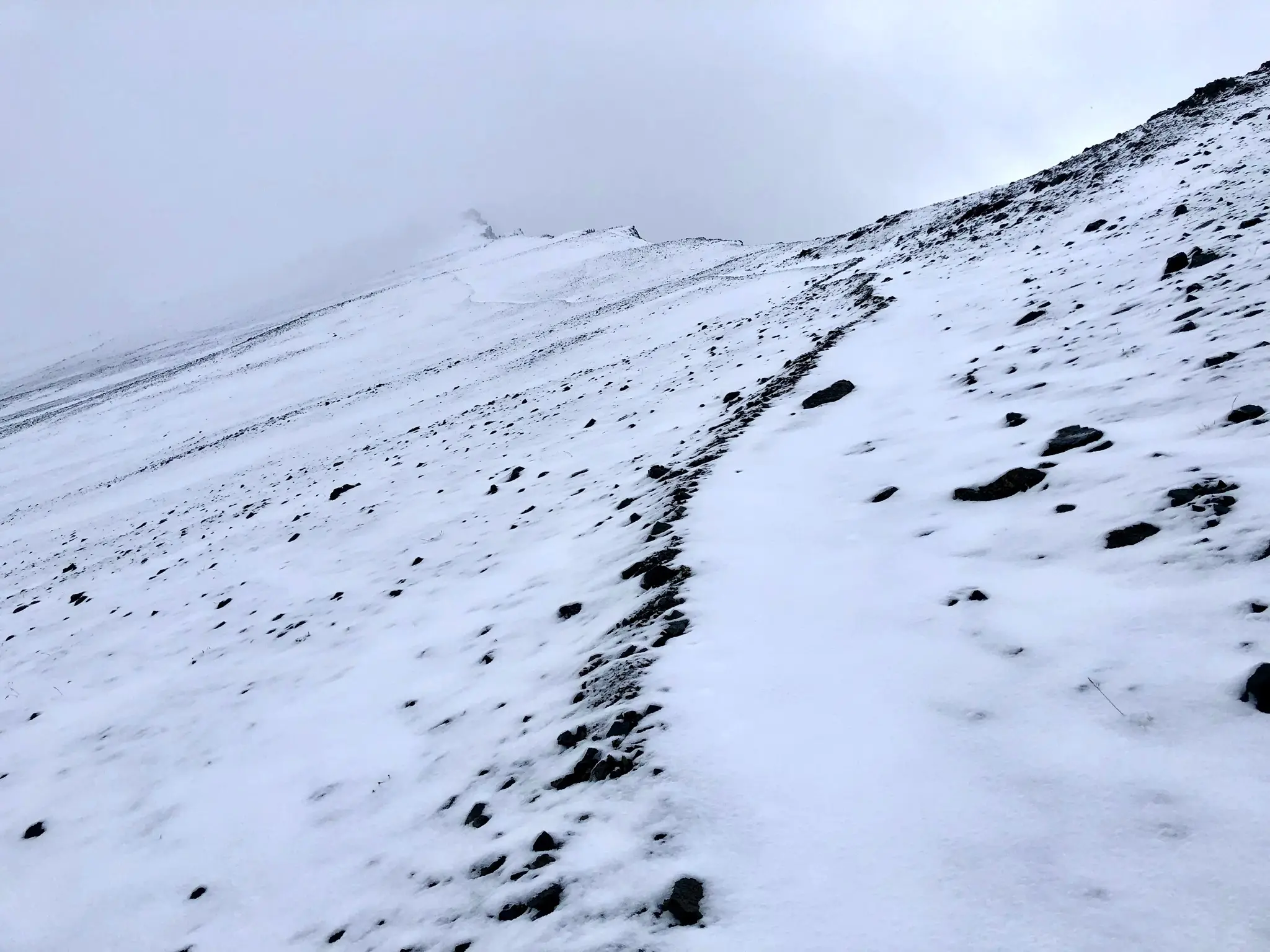
At about 3.2km the trail leaves the ridge line and cuts across the steep slope. If snow is present pay particular attention to the area above you as unstable cornices can form and avalanches might develop.
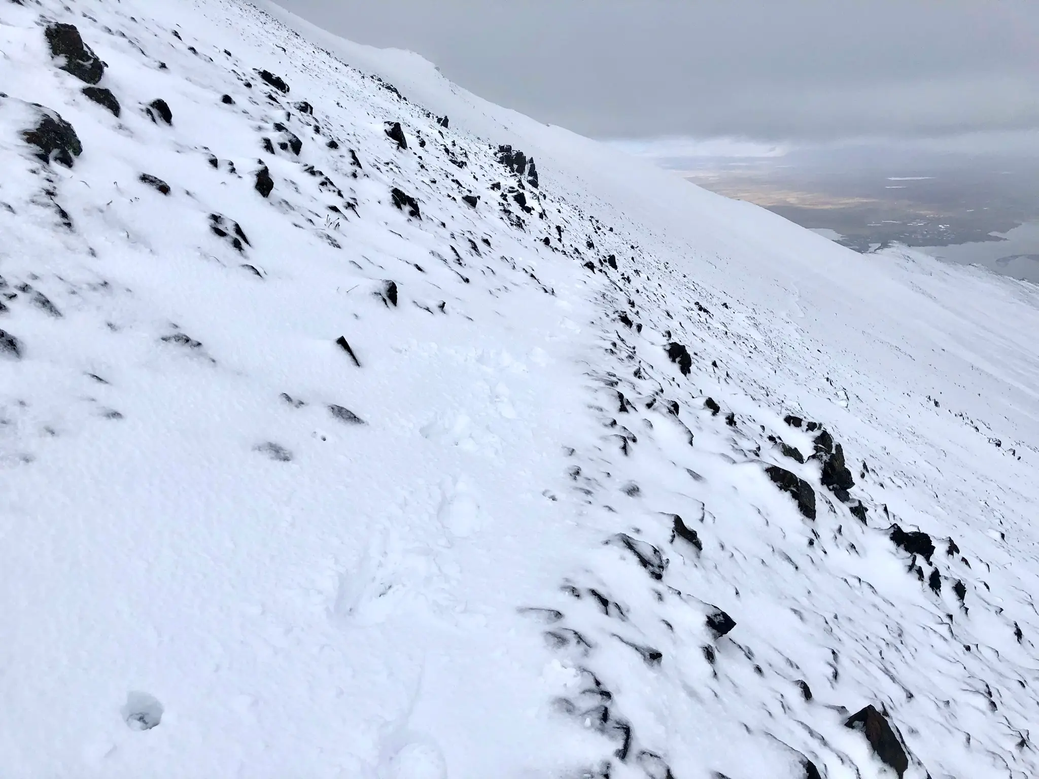
Compounding the danger, the drop in the valley is steep, making a slip and slide quite dangerous. Turn back around if conditions are not safe.
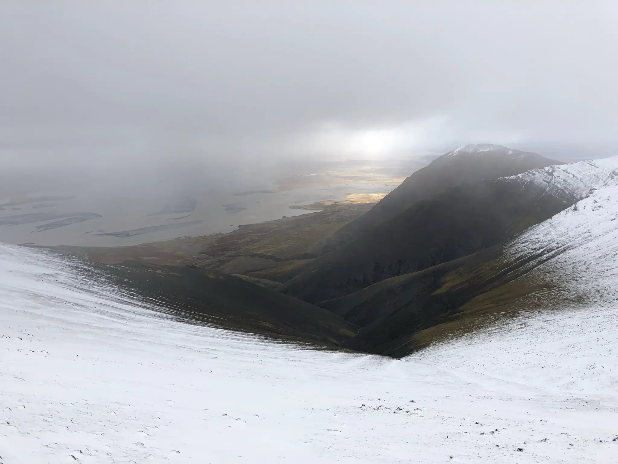
The trail ascends more moderately across the slope until the 3.8km mark (750m a.s.l.) where you will reach a col between the Hafnarfjall peak visible from the road (to your right) and Gildalshnúkur on the left.
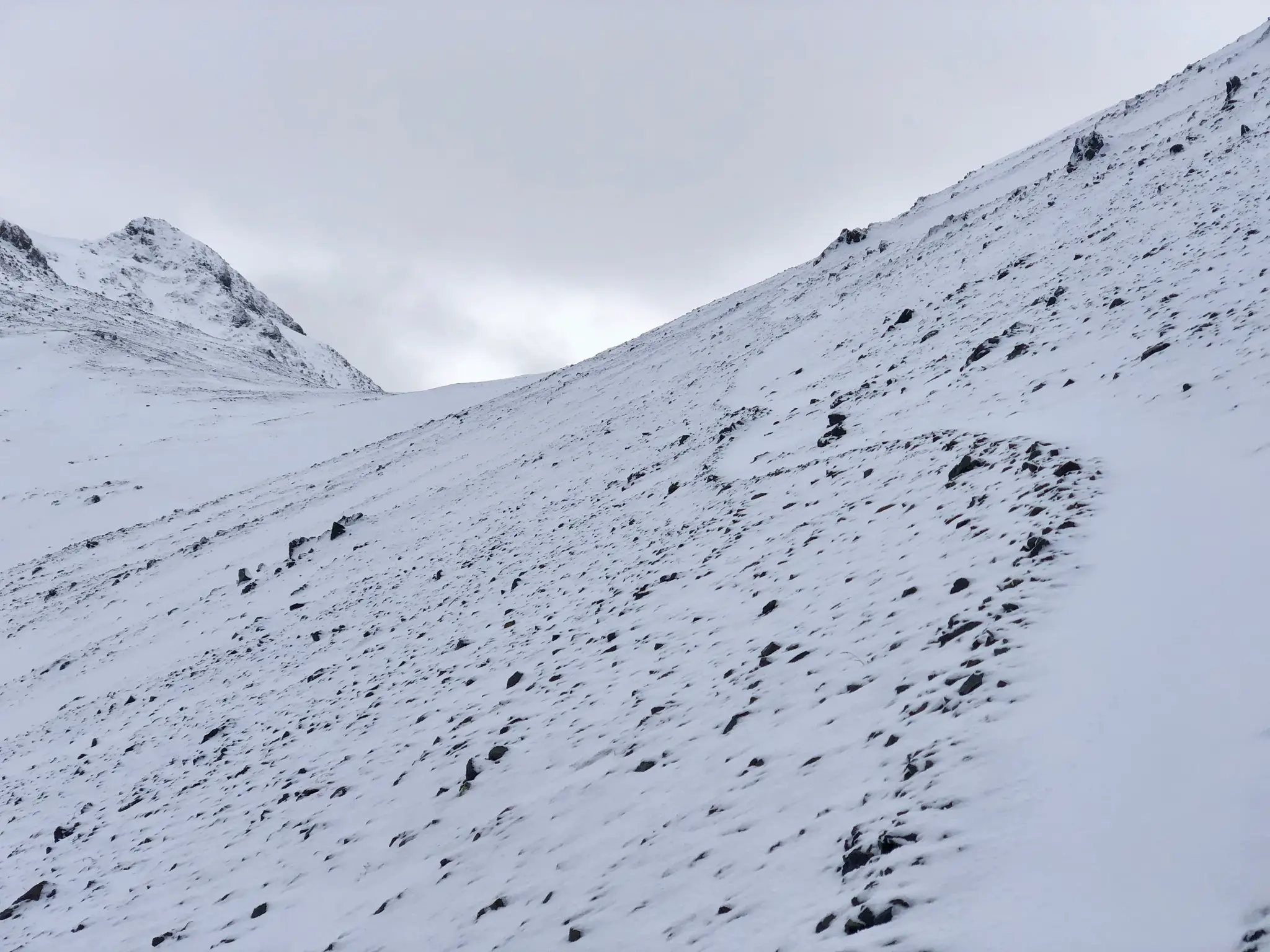
Once on the col, turn right towards Hafnarfjall. What follows is a steep but short ascent which ends abruptly at about 787m a.s.l. If you are lucky enough to summit on a calm day, the views from the top are awe inspiring. Behind you, across the col, the foreground will be dominated by Gildalshnúkur.
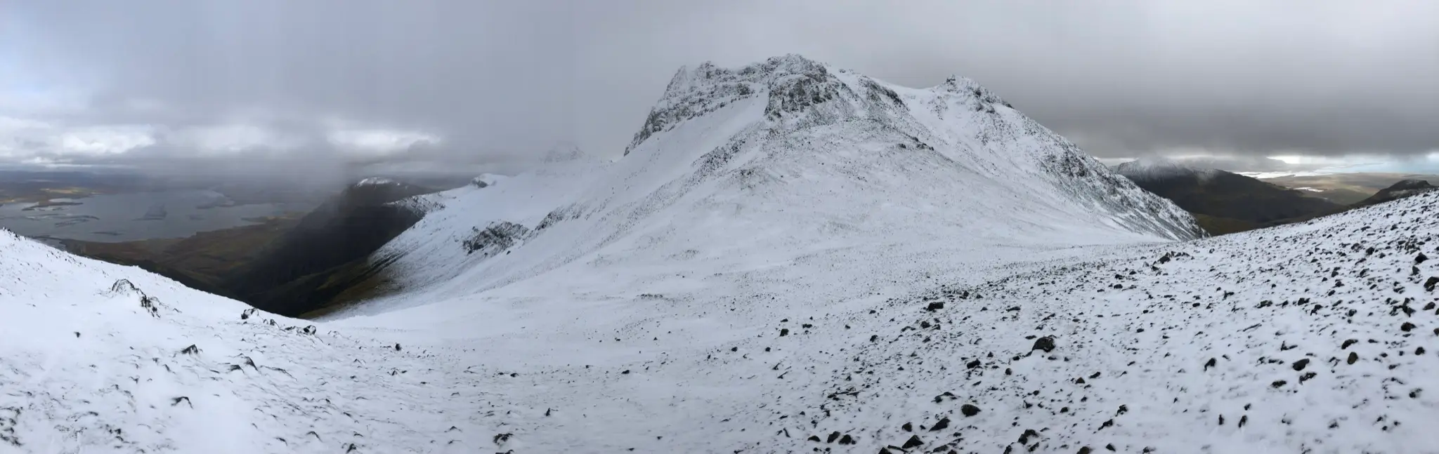
Ahead you will have an uninterrupted view of the entirety of the Borgarfjörður inlet with Snæfellsnes peninsula in the background.
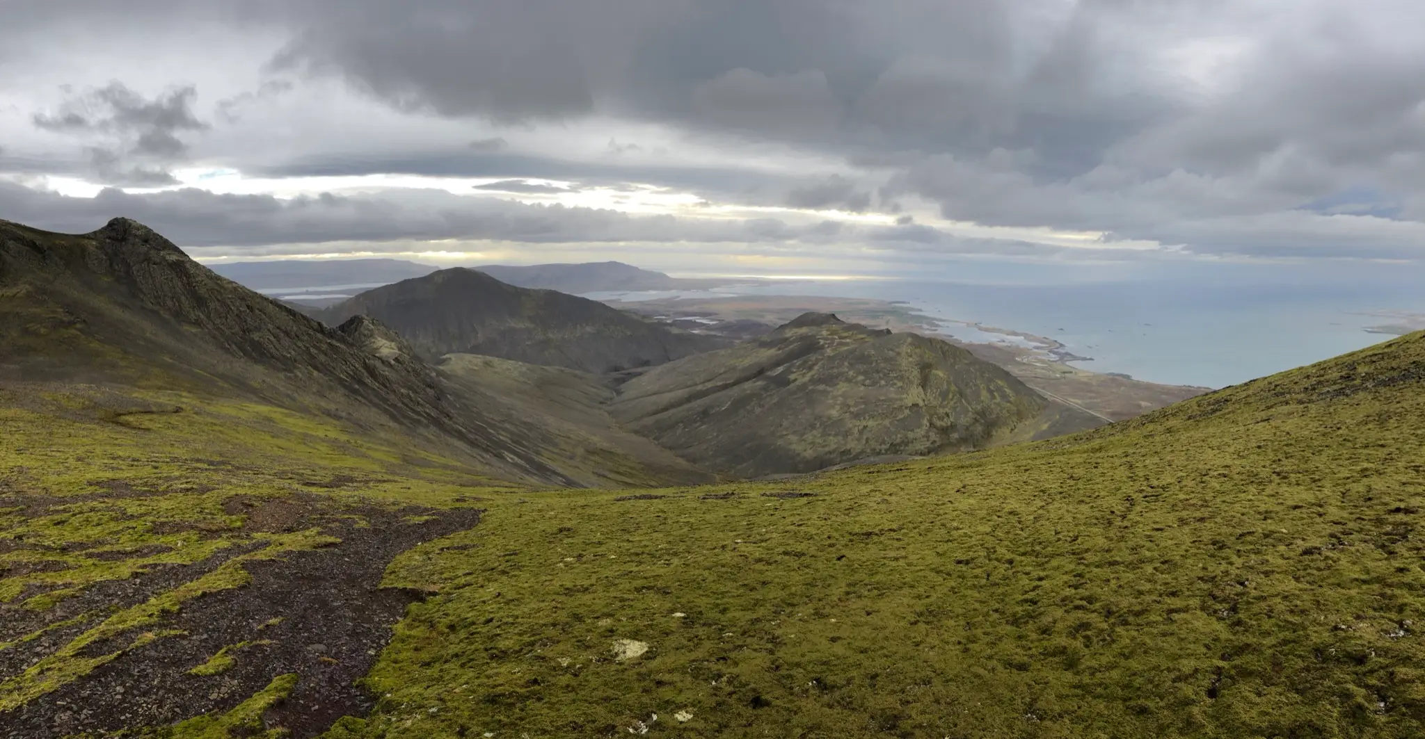
To the south, the pointy top of Blákollur is framed by the distant silhouettes of Akrafjall and Esja.
If you have time and conditions allow, summit Gildalshnúkur by following the path slightly south to bypass the cliffs. Return via the same trail.