The route
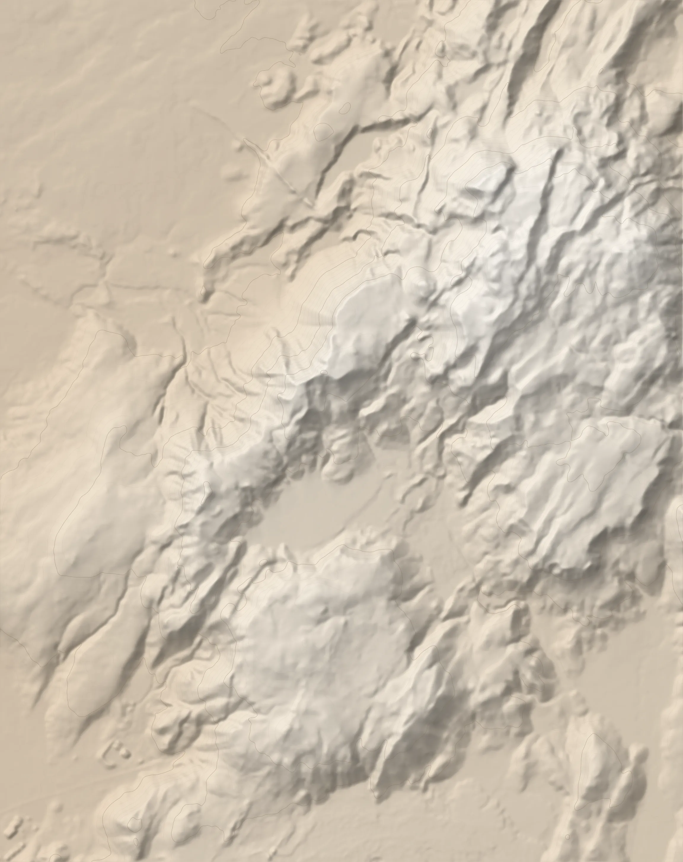
Vörðuskeggi (also known as Skeggi) is the highest peak in the Hengill range, a mountainous area east of Reykjavík. From the summit you will have a towering view of western Iceland including the þingvellir area, Esja and Botnsúlur mountains, Þingvallavatn and even distant glaciers such as Langjökull and Eyjafjallajökull. The massif is replete with interesting rock formations, hot water streams, fumaroles and mud pots.
The peak is accessible from both the south and the north. On the south side you start at the ON geothermal power plant in Hellisheiði, climb steeply to a high mesa called Innstidalur, then follow the western ridge up to Skeggi. On the way back you descend off the ridge onto Innstidalur, then follow the valley south out to the starting point.
Start at the parking area in Sleggjubeinsdalur. From the parking area go NNE, following a well marked and cared for path. Stay to the right of the geodesic dome covering a drill hole for the power plant.
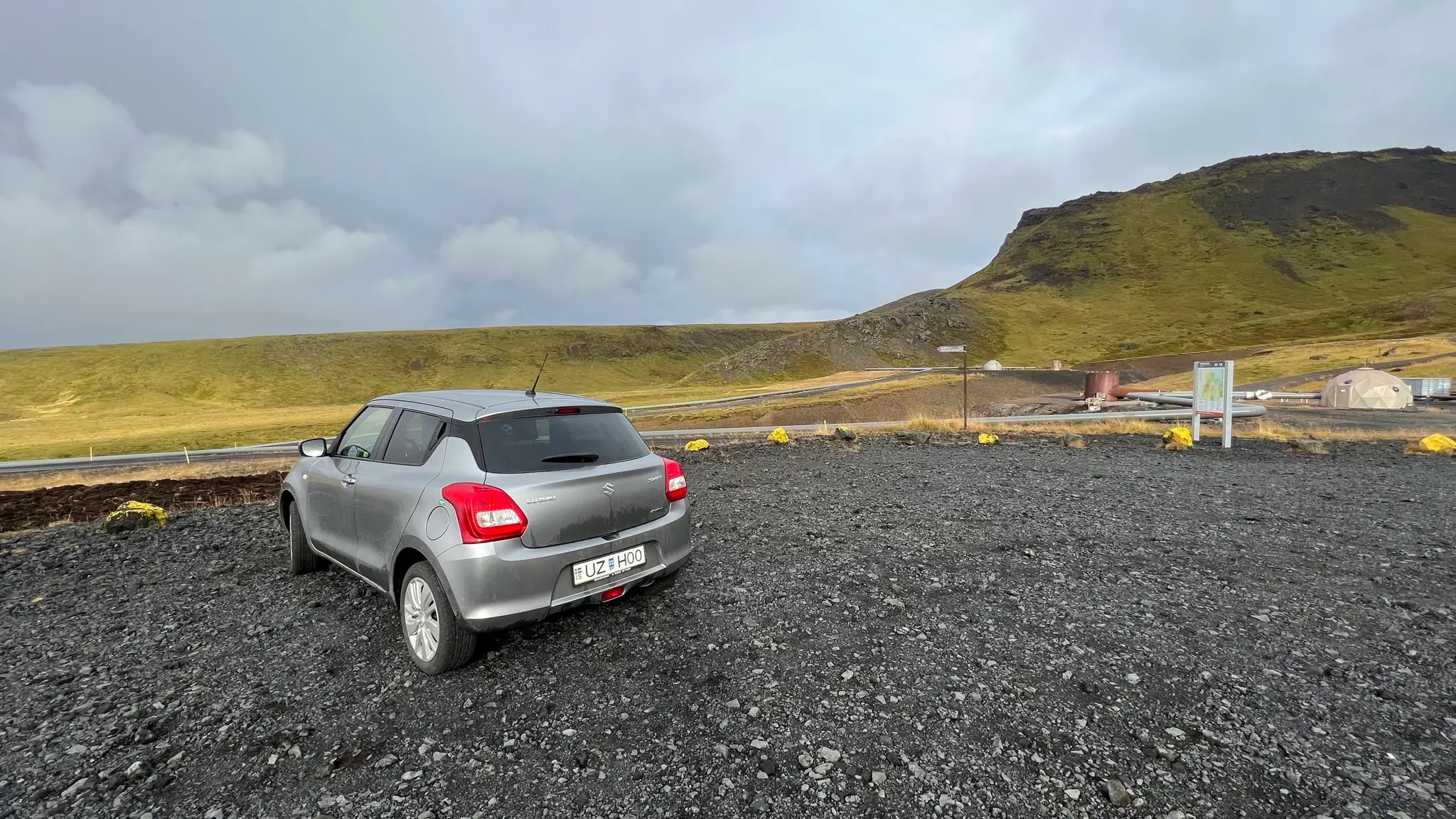
The initial few hundred meters of the trail feature well thought out features to prevent erosion - such as extra gravel on the trail and wooden steps. Ravines are bridged by wooden planks.
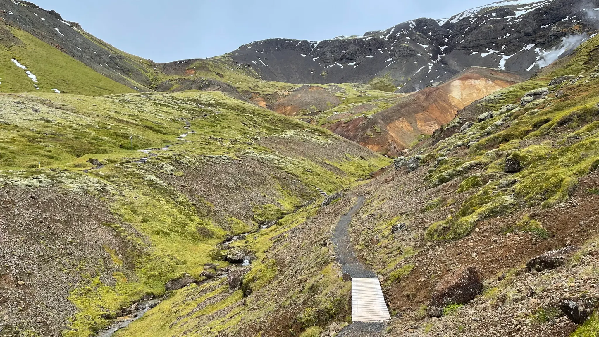
At .35km ignore the trail spur heading west. Instead continue north following signs for Vörðuskeggi / Innstidalur.
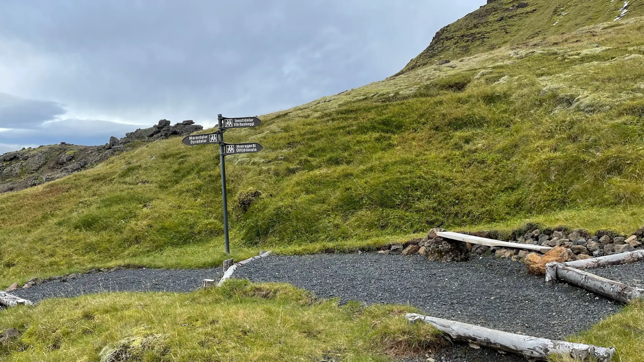
The trail ascends steeply out of the valley. Underfoot the gravel gives way to a mixture of dirt and grass. On one particularly steep section metal steps have been put in place to lessen erosion.
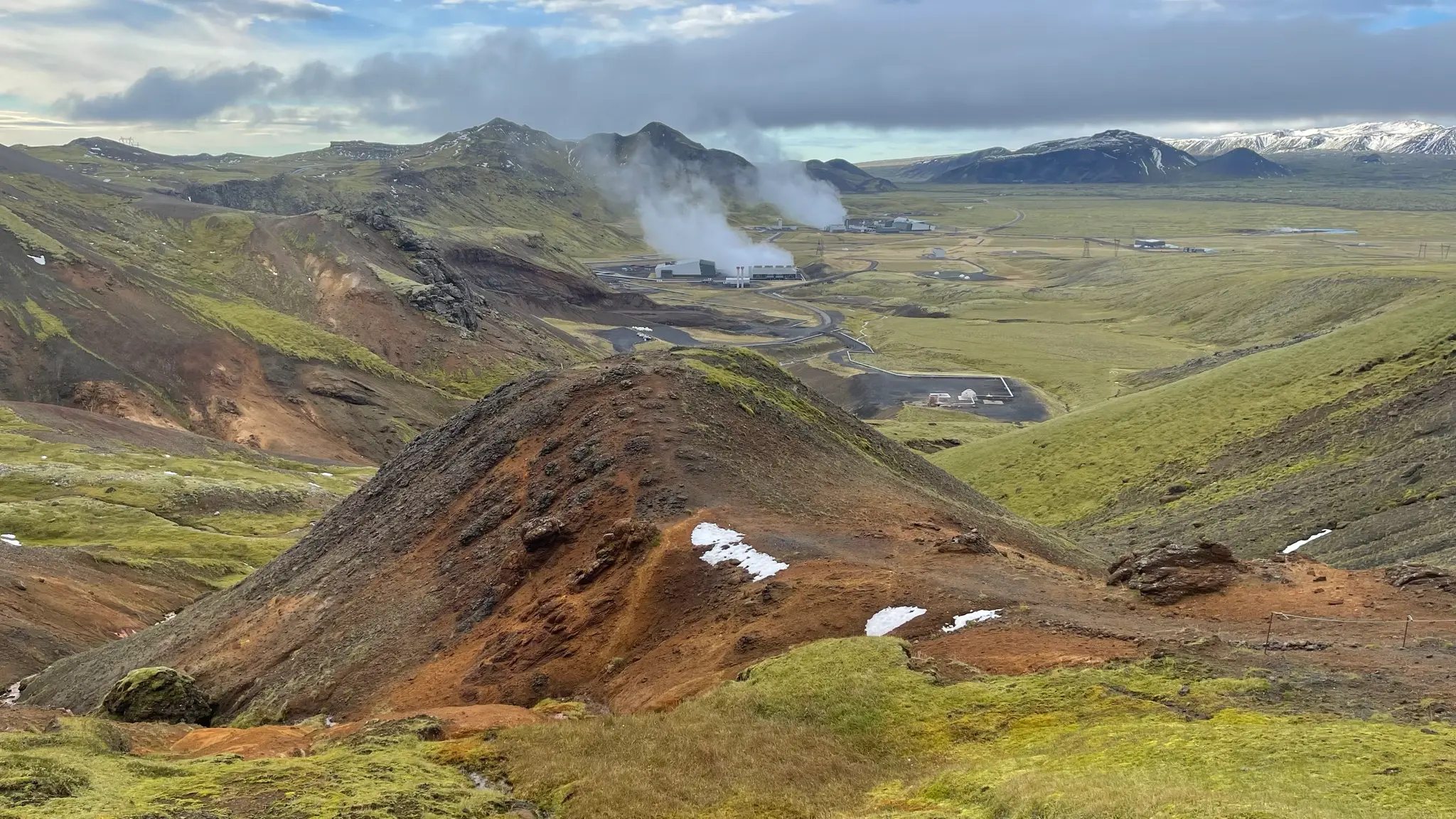
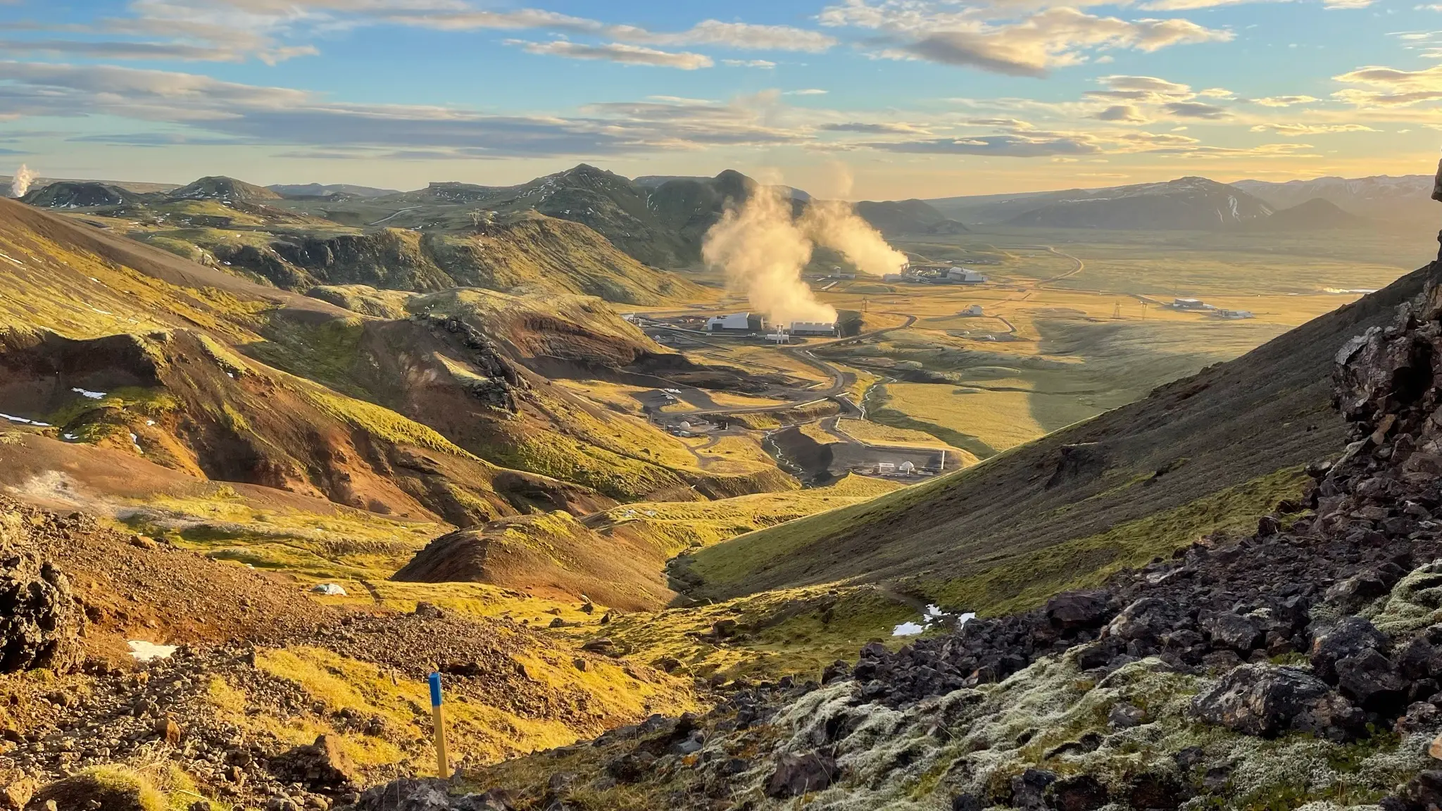
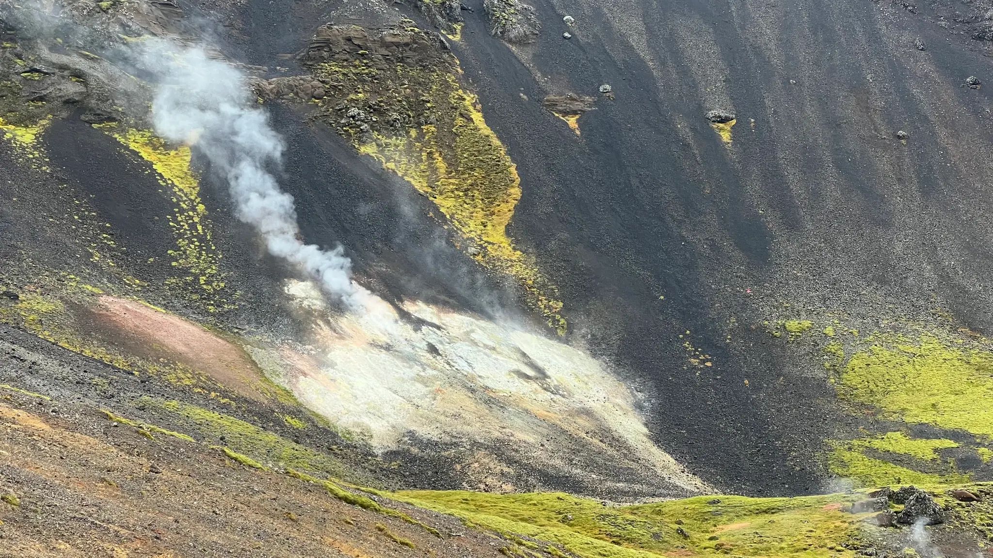
About half way through the initial ascent a yellowish, smoking geothermal area contrasts with the jet black basaltic scree on the neighboring versant.
After 1.1km you will reach Sleggjubeinsskarð, the entry point to the Innstidalur plateau. On a clear day Innstidalur and the Hengill peaks will be visible ahead.
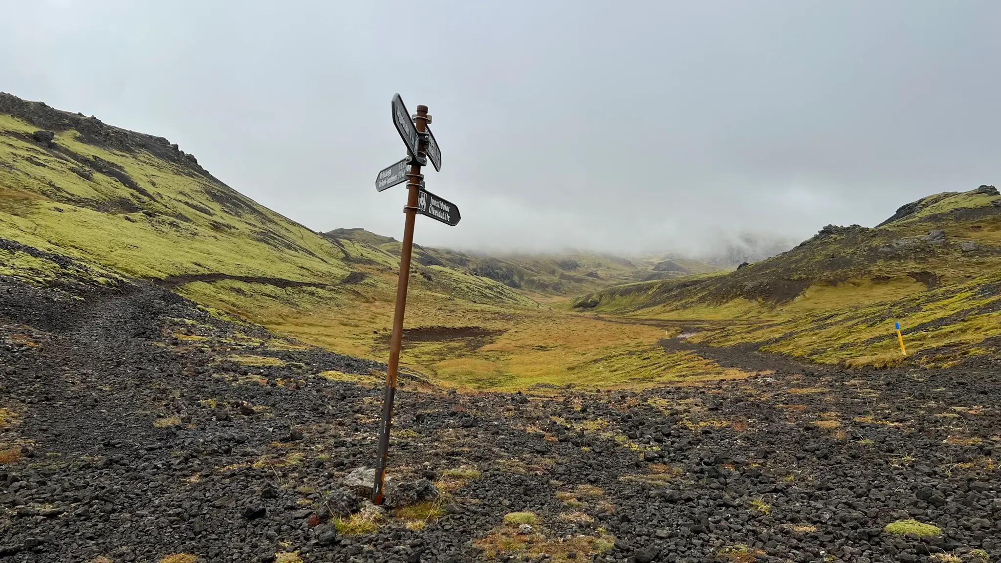
Two trails fork out from here. Take the one on the left, marked with black tipped sticks (the other one is your return trail). The well-formed path ascends gradually across the slope until it reaches the ridge.
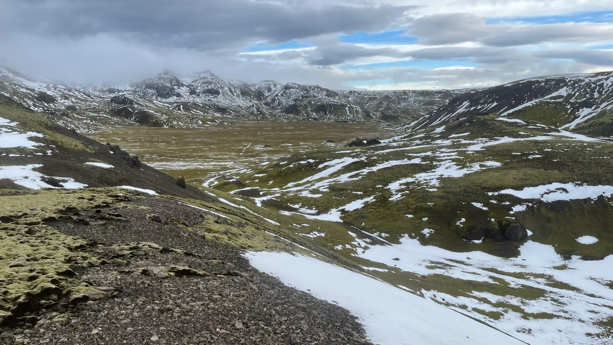
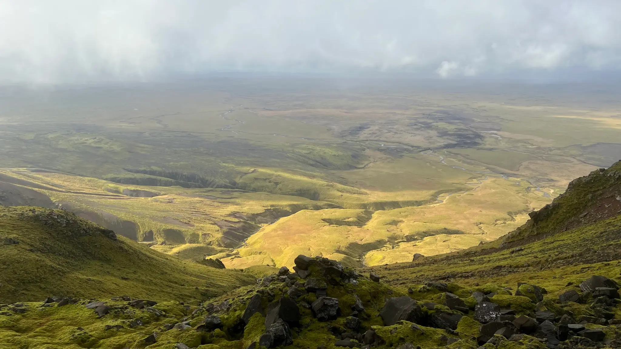
You will reach the ridge at around 1.75km from the start. Follow the gentle slope NNE for the next 1.2km or so. At several points the path skims close to the western edge, giving you the chance to enjoy an expansive view of the verdant piedmont area and Reykjavík beyond.
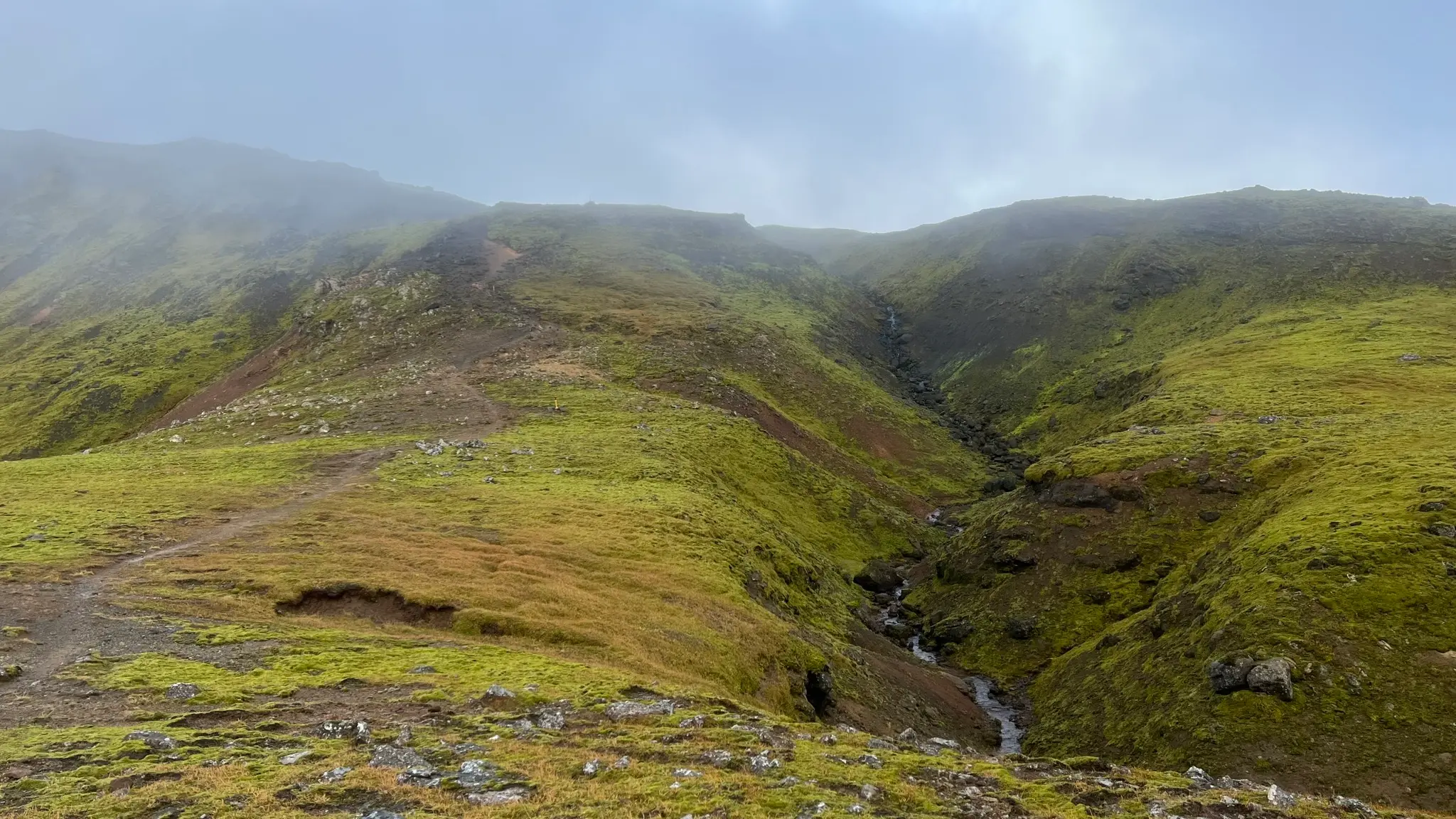
At around the 3km mark the trail ascends steeply up an eroded, rocky slope.
Shortly after, at 3.5km you will reach a narrow exposed passage spanning between two standing rocks. Pay particular attention to your footing as the compacted dirt underfoot is slick and a fall down the slope can be serious. In snowy conditions crampons and an ice axe for self arrest are recommended.
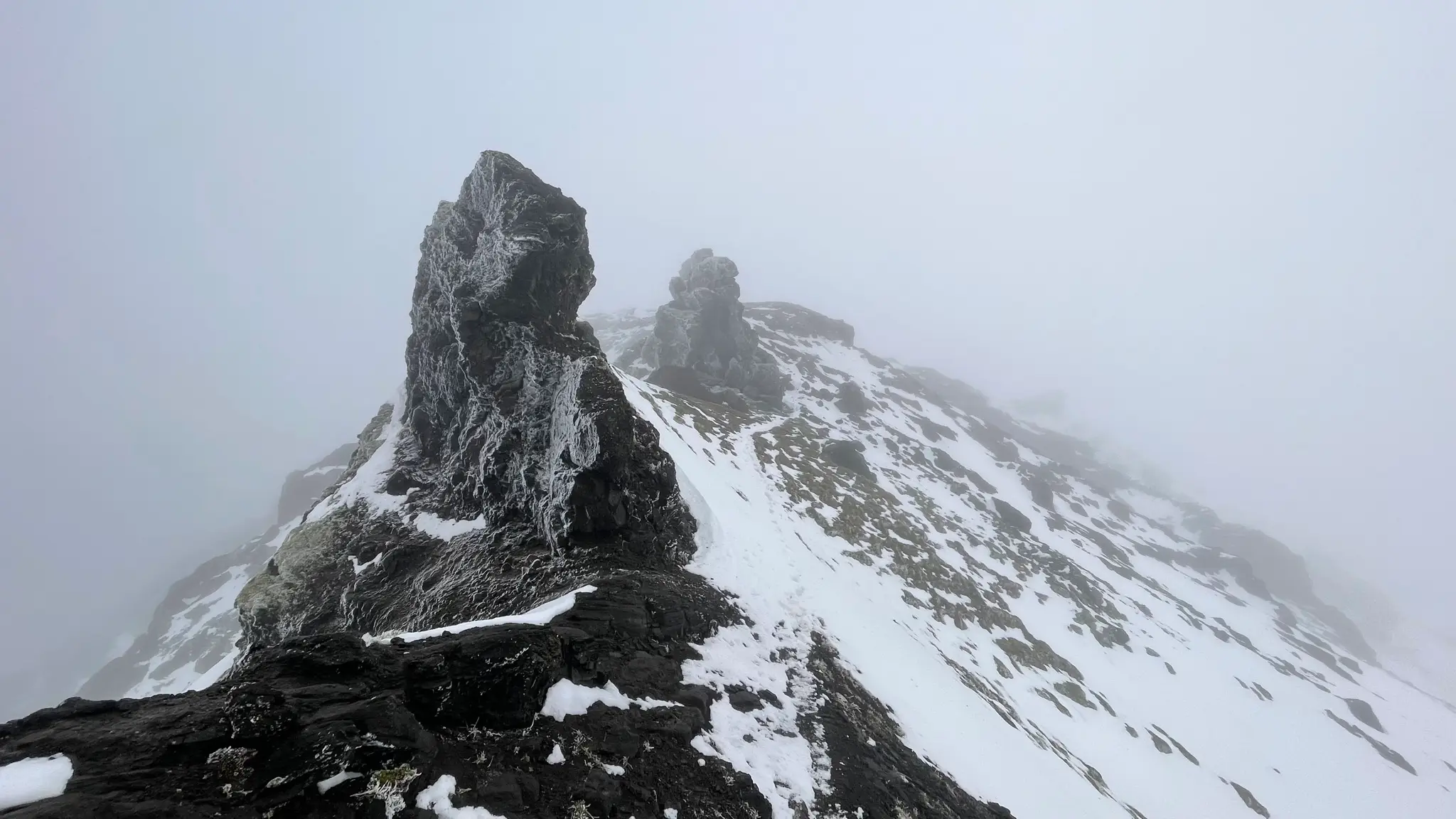
The path gets easier after, when you descend into a wide barren plateau at 4km and continue NE. The featureless area can be difficult to navigate in low visibility.
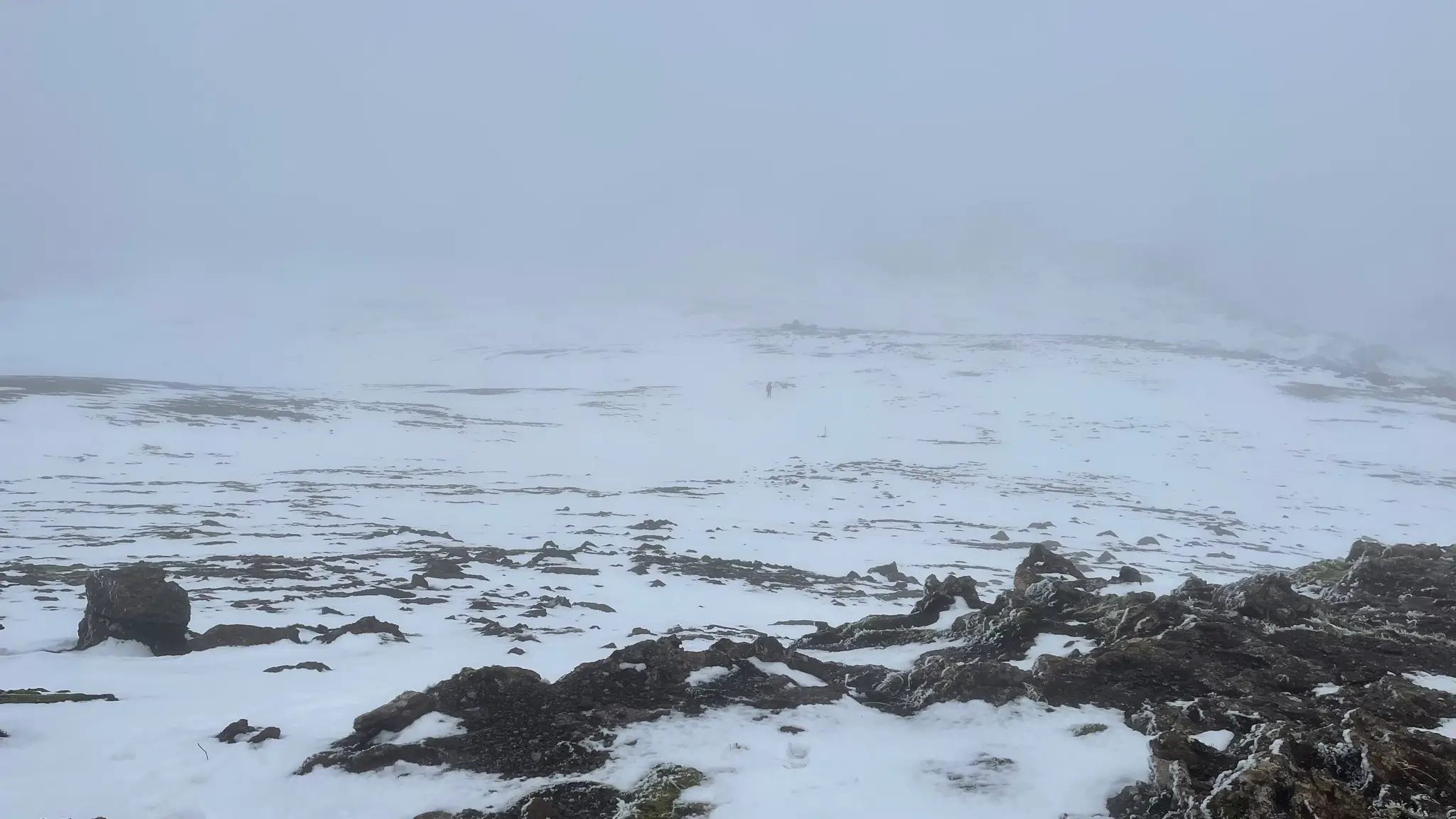
The rarely spaced trail markers can be easily missed and you might need to supplement navigation with a compass or with mapping software.
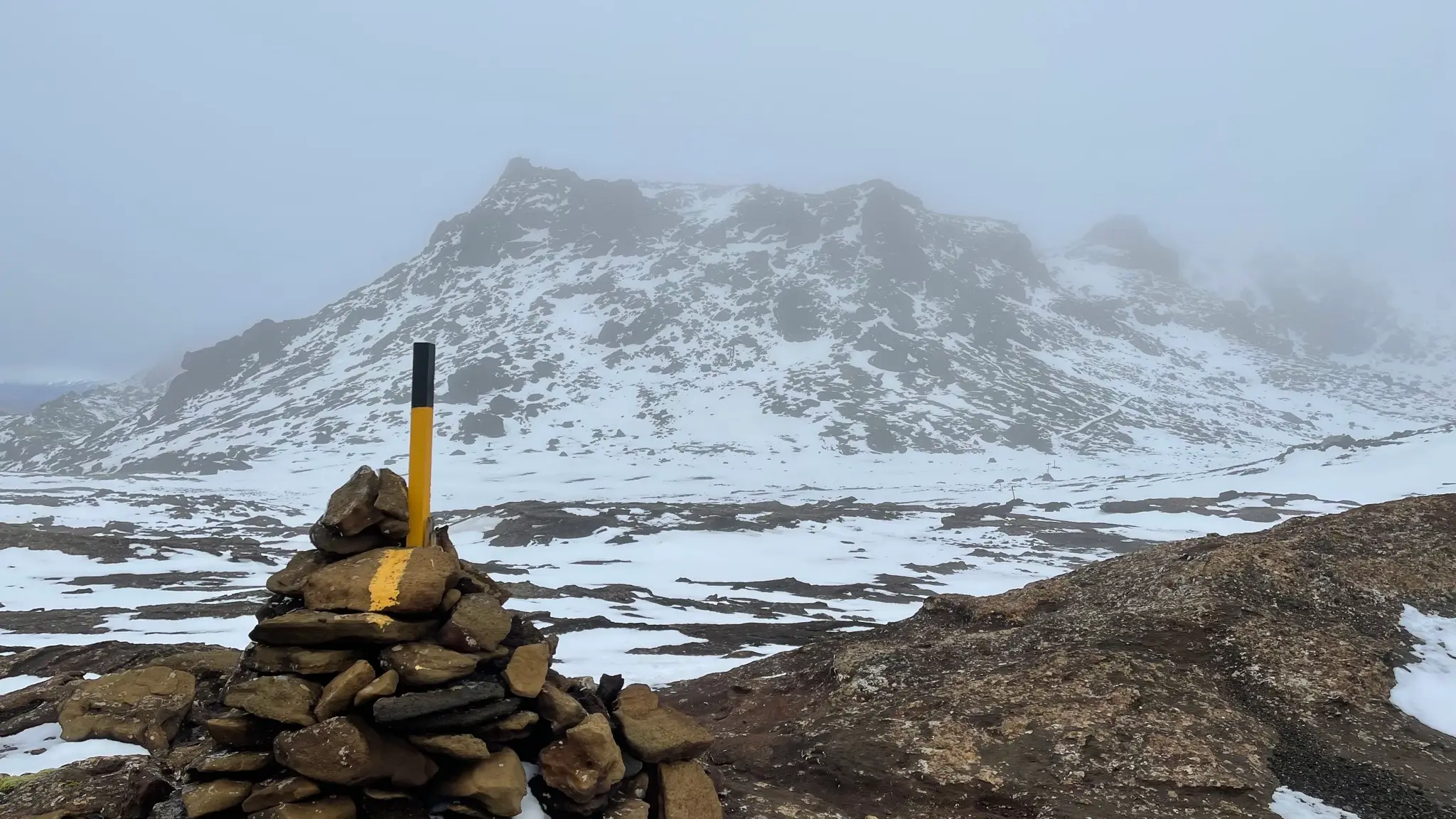
As you approach the next rise, stay to the right. A well formed trail cuts across the slope, avoiding the initial rocky outcrops. Getting to the top of the slope will entail a short but abrupt hike up a sleek, eroded portion. You might need to use your hands in parts.
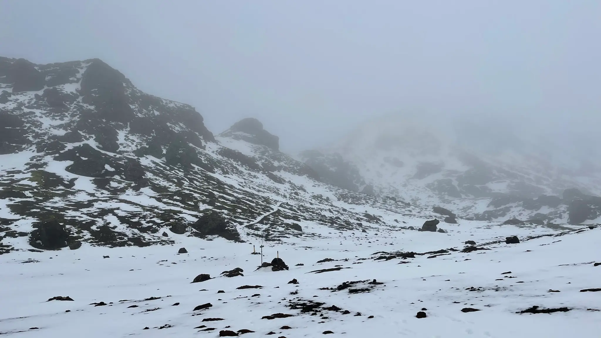
At 5.7km from the start you will encounter a fork of two paths, both leading to the top. The left path is the most direct but involves traversing a gully that can be prone to avalanches in the winter. The one to the right is the detour for winter conditions; as a bonus the winter path also summits the peak giving the range its name, Hengill (805m).
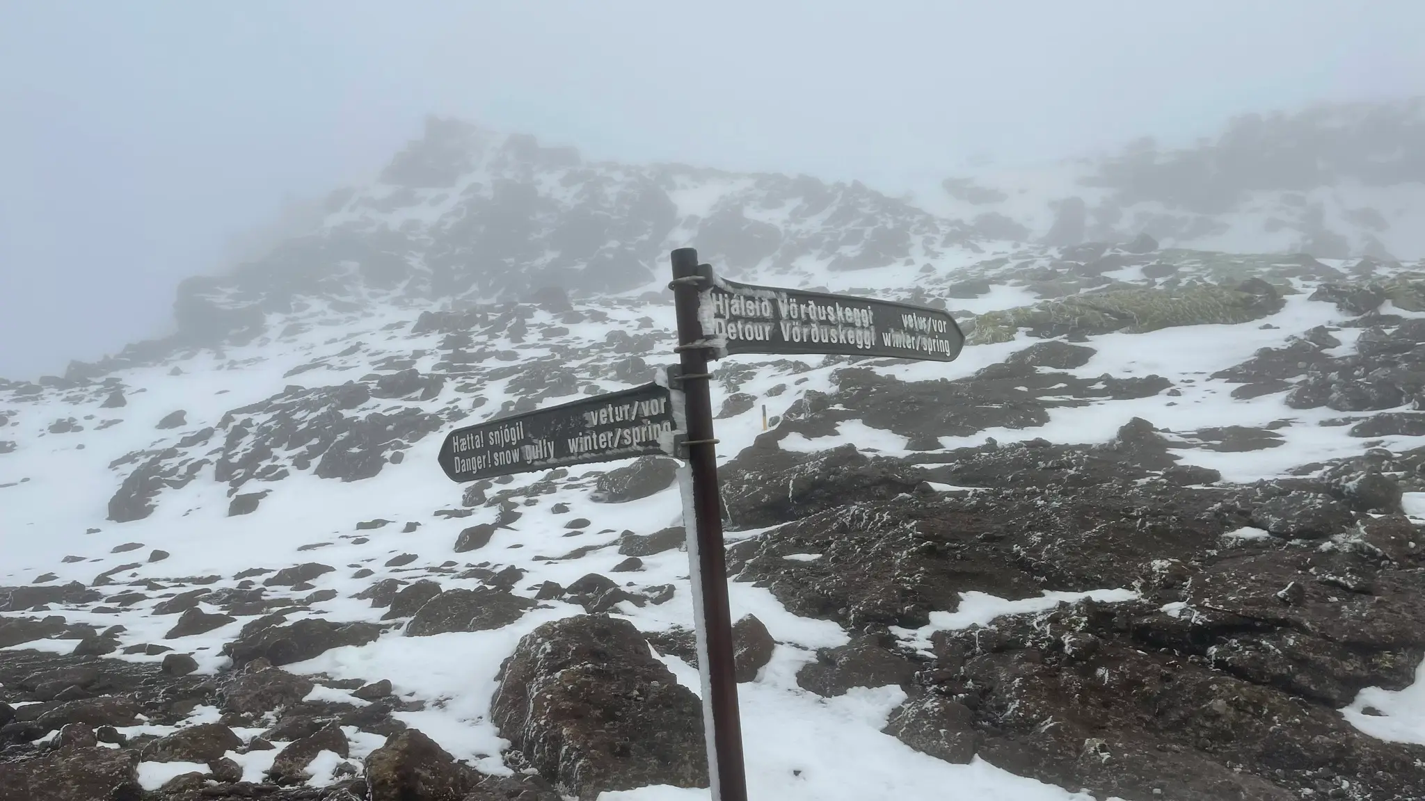
On the summer route, care will still be needed even without snow. The passage across the gully is rocky and uneven.
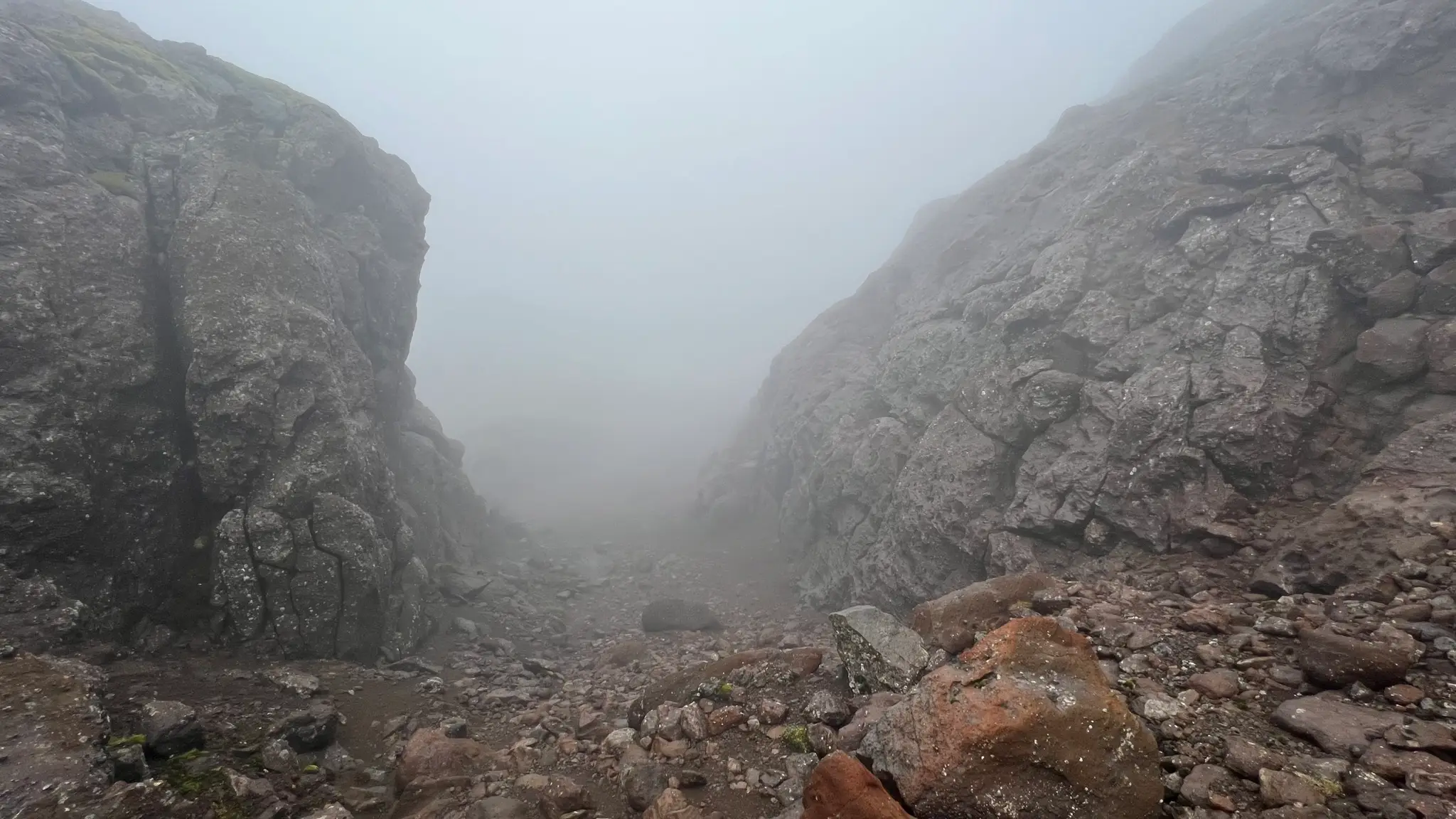
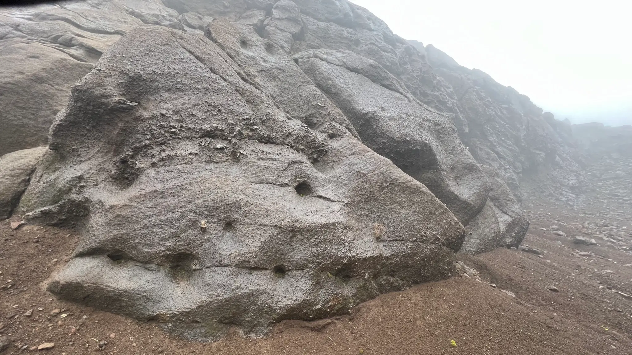
The igneous rocks on the sides are quite interesting, with several strange holes pockmarking the rock face.
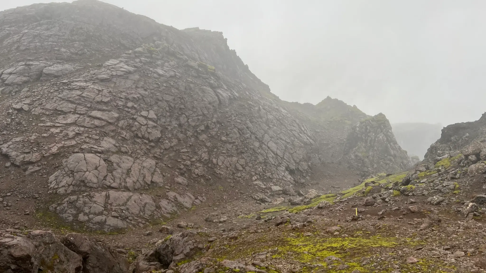
The summer path rejoins the winter detour in the flat area before the final ascent to Skeggi.
If you are on the winter path, after summiting Hengill you will descend into a saddle where four different trails meet at 6.1km. In addition to the winter path, this point also joins the return path via Innstidalur as well as the trail coming from the Nesjavellir area. All three paths are now jointly heading towards Vörðuskeggi.
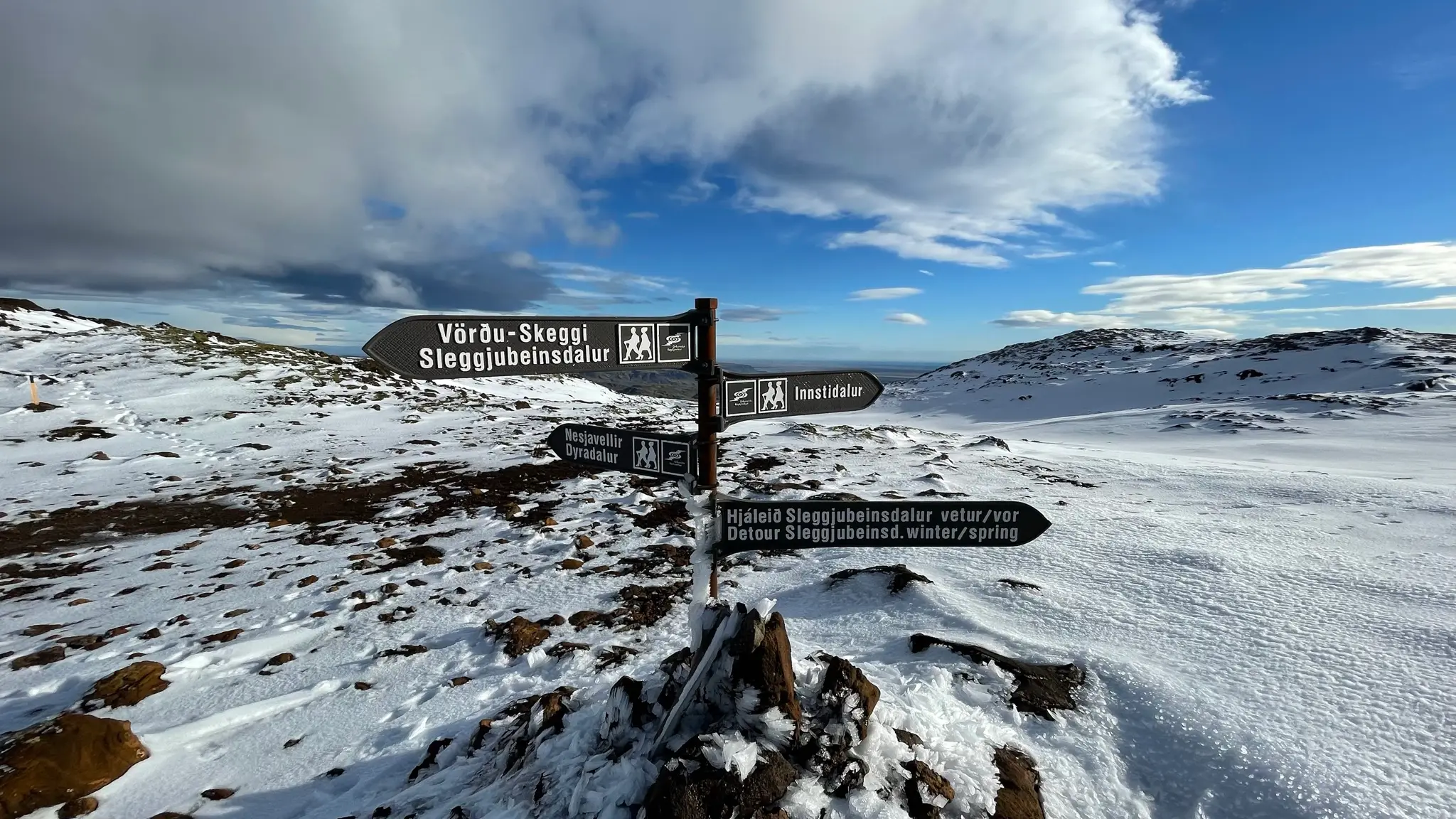
In clear conditions the peak should be easily visible to the north. Descend from the saddle into a flat field and follow the indicators as they lead slightly east of the peak.
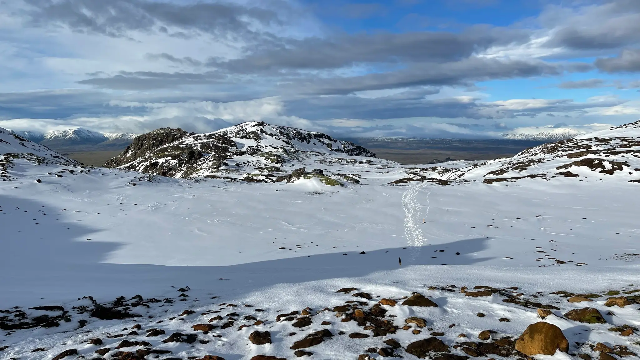
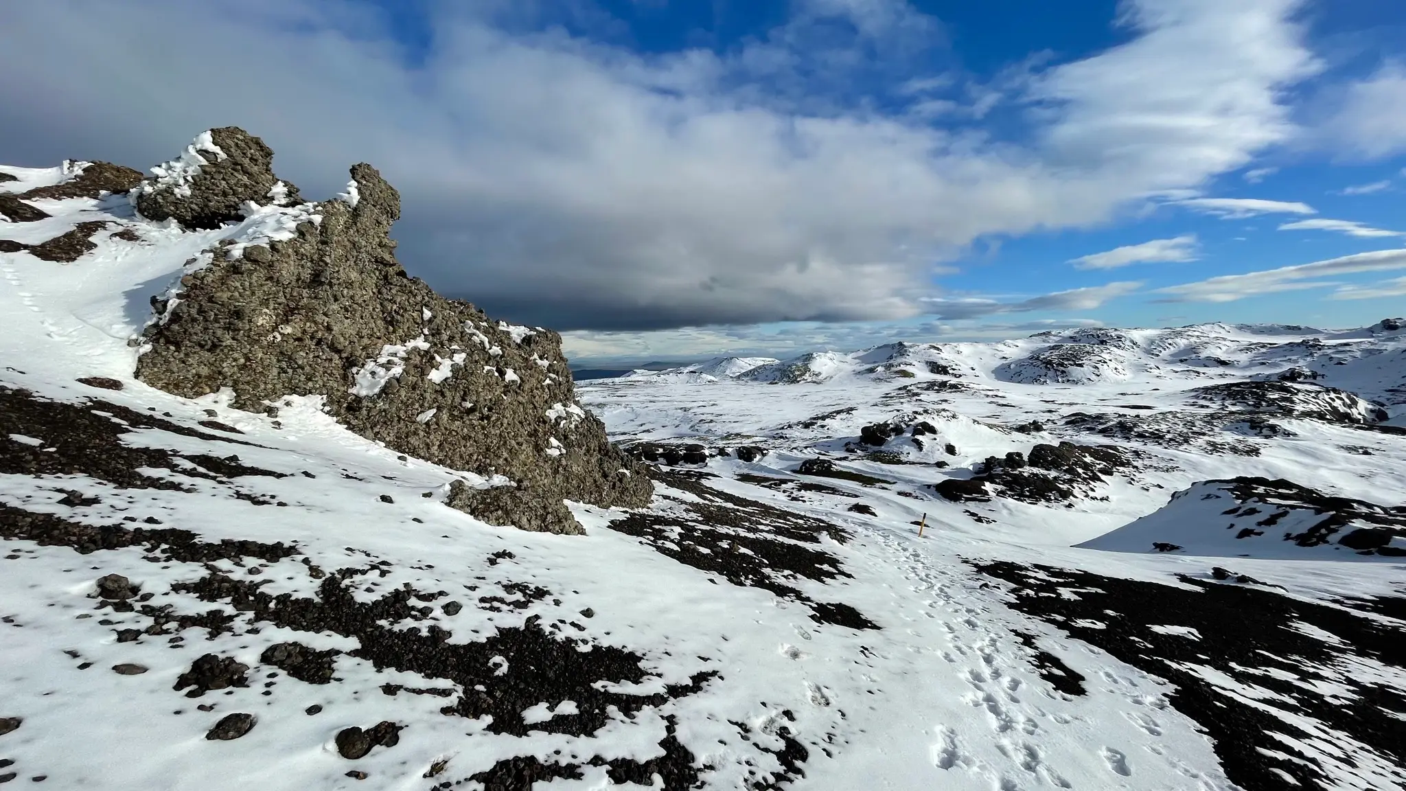
As you reach the foot of the peak area, the trail angles left and ascends across the rocky slope, skirting below sheer rocks.
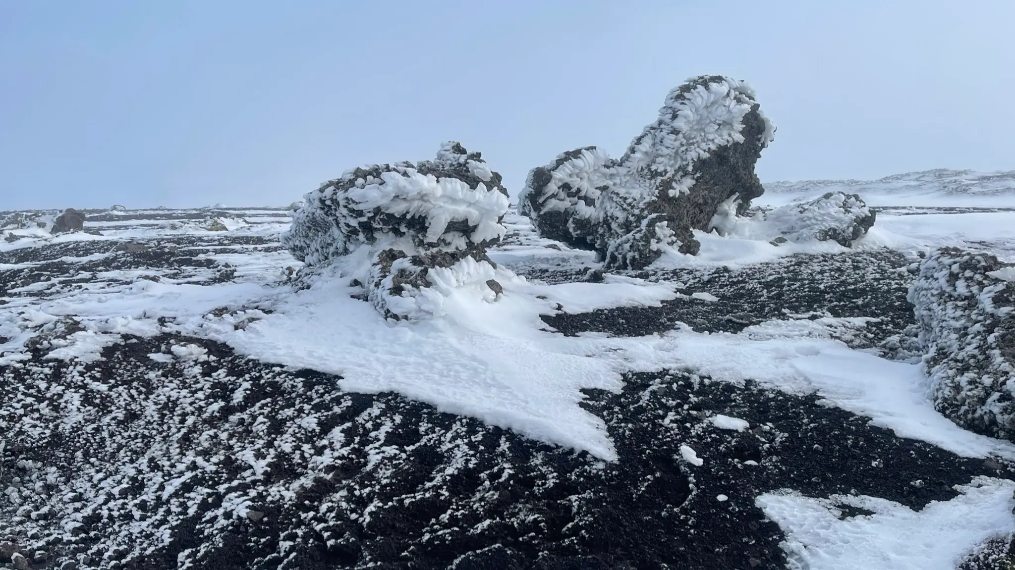
You will reach the top around 7km from the start. The highest point is marked by a cairn. Next to it, a couple of misshapen standing boulders offer some refuge from the often unforgiving winds at the top.
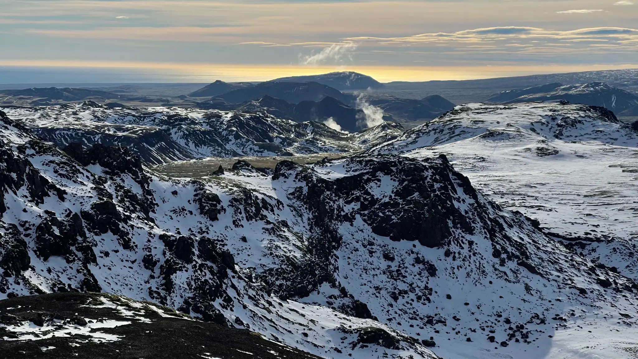
Looking back to the south, you will glimpse the ridge that brought you here as well as the Innstidalur valley, which is the return path. Beyond the rising vapor from the ON plant in Sleggjubeinsdalur several other standalone peaks continue to the south, Stóri-Meitill and Geitafell among them.
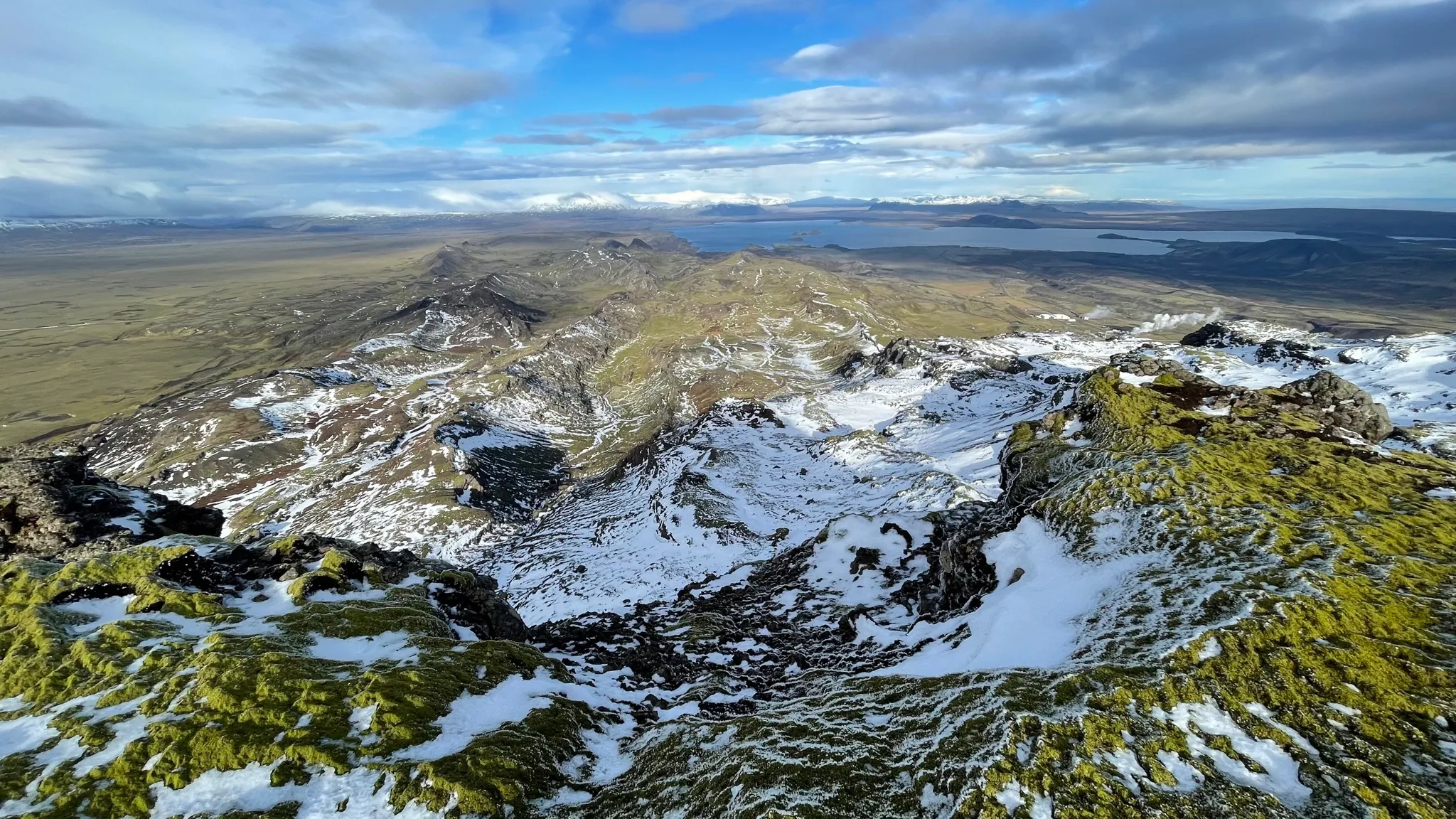
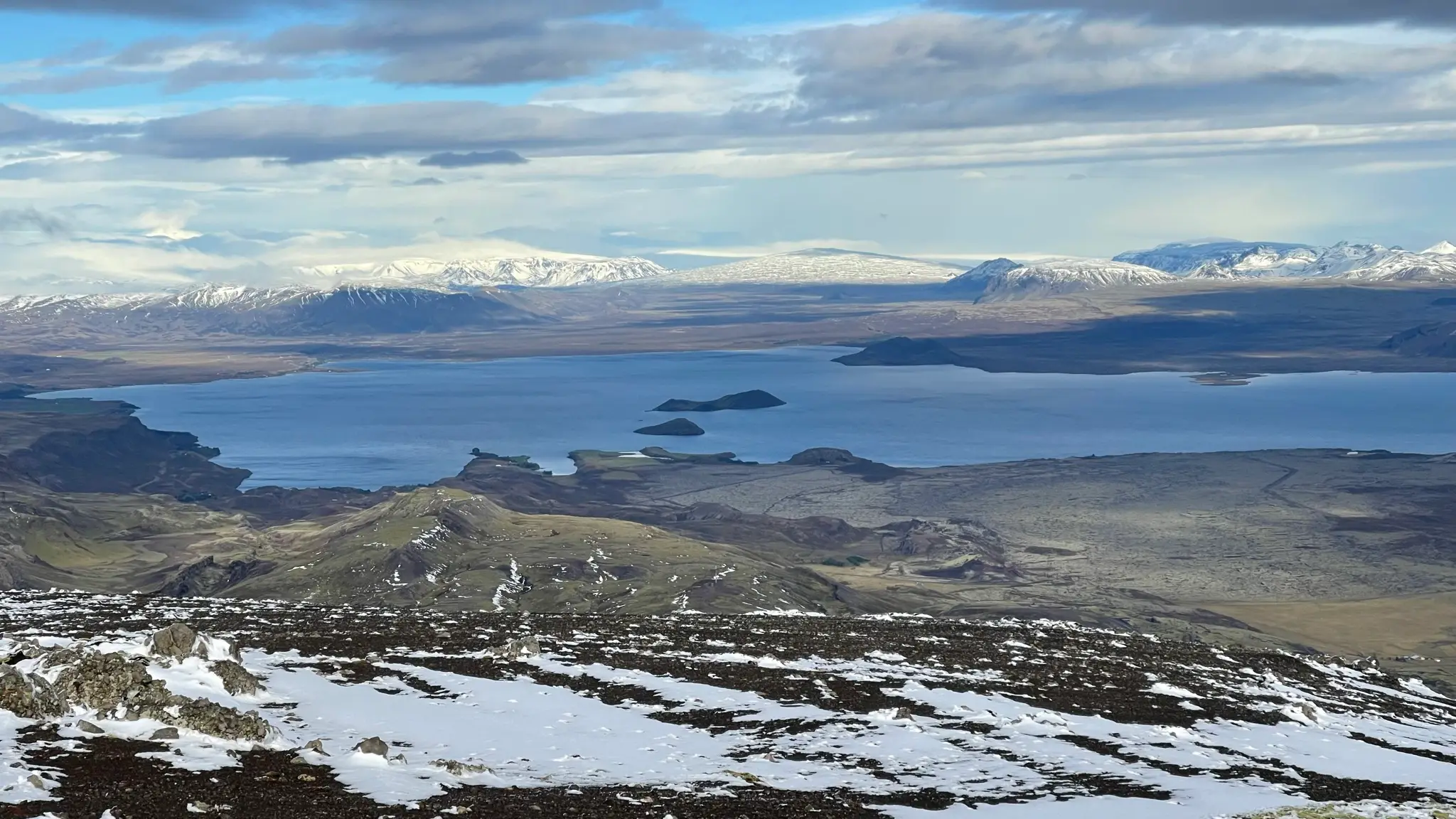
To the north, a downward sloping plateau is the foreground to a breathtaking vista. Its centerpiece is the Þingvallavatn lake, with two small islands, Nesjaey and Sandey, dead center. Beyond the lake, aligned with the islands from this vantage point, you will see the unmistakable shape of Skjalbreiður („broad shield”), a shield volcano whose lava fields almost 10000 years ago formed much of the basin for the þingvellir area. Other peaks and distant glaciers (þórisjökull and Langjökull) complete the background.
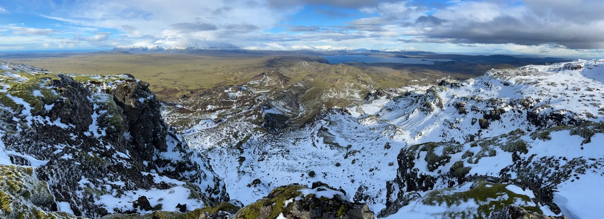
If you have time, stroll down to the edge of the cliff on the north side to get a closer look to the many parallel lower ridges in the Dyrdalur / Nesjavellir area.
To return retrace your steps south and into the depression between Skeggi and Hengill.
Climb back to the 4-way intersection, then head in the direction of Innstidalur.
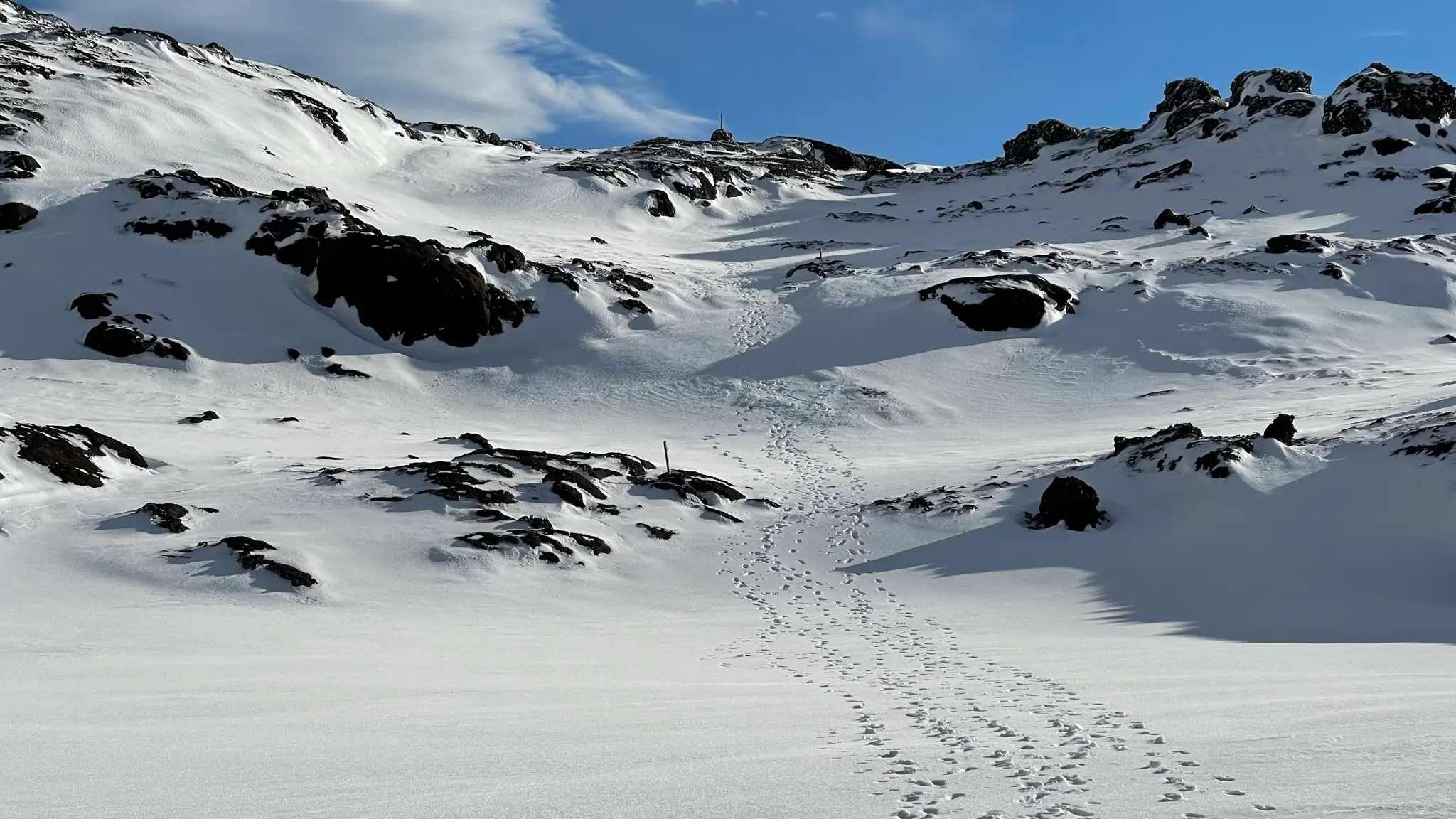
The next .5km will descend gently, providing ample opportunities to take in the glorious views.
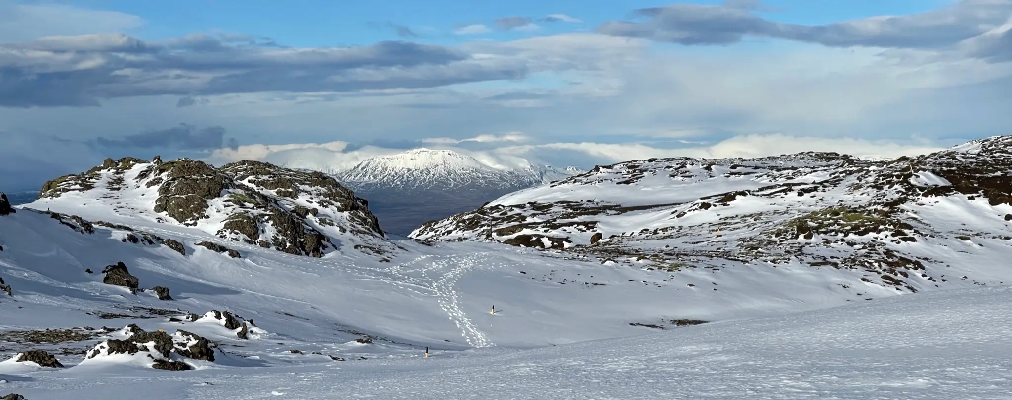
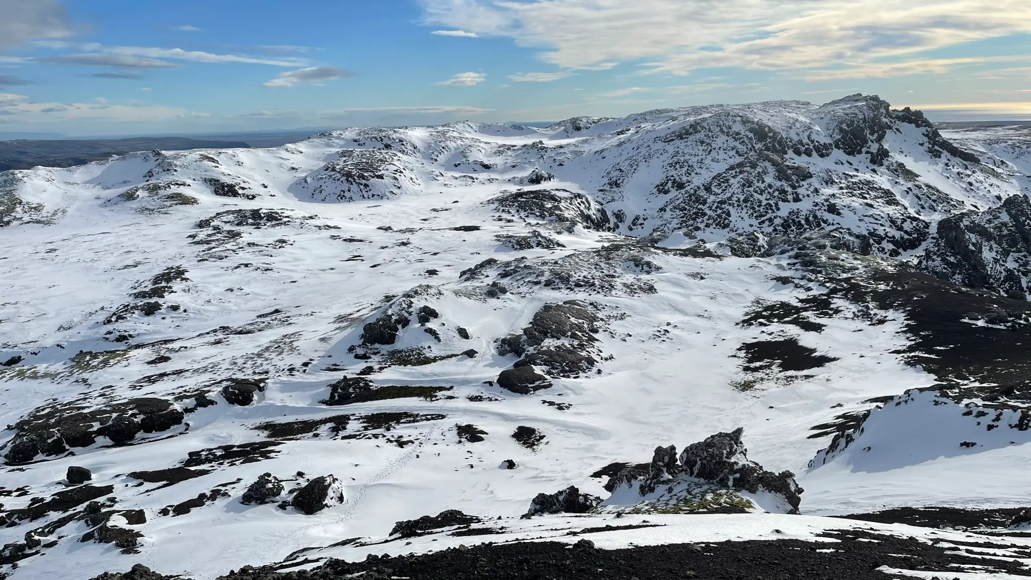
With a coating of snow the harsh, bleak rock of Hengill’s top is transformed into arresting vistas.
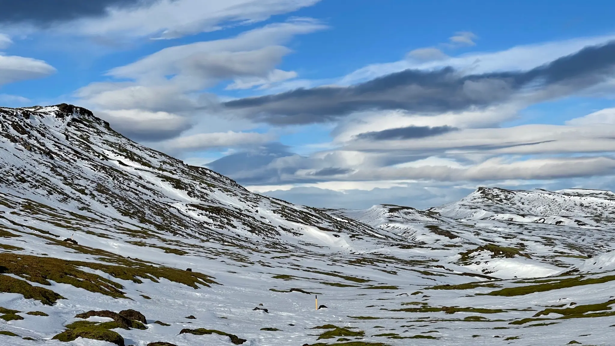
At 9km from the start the path angles away from the ridge and starts descending more steeply. With snow cover the rocky slope can be tricky, with deep snow drifts making progress slow.
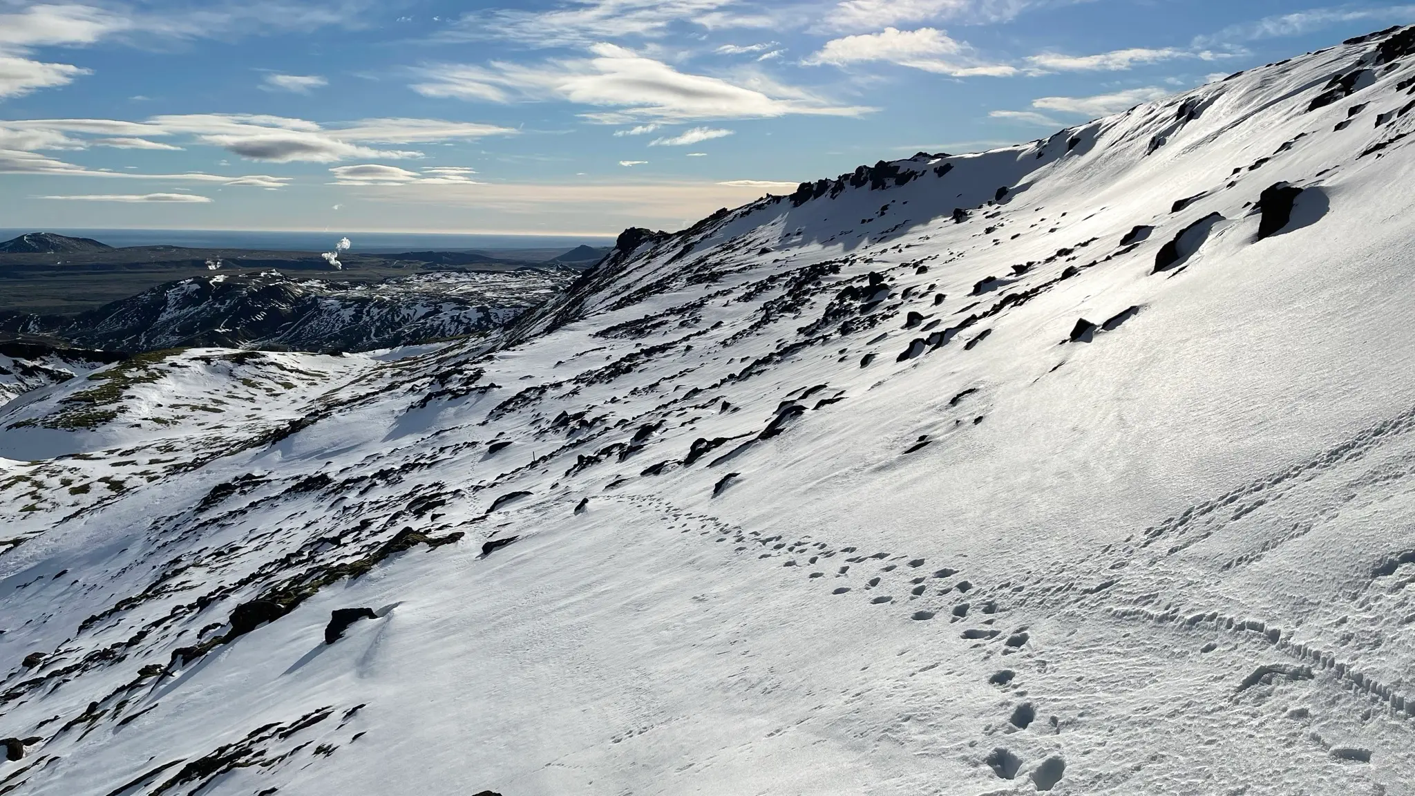
The steepest part of the descent begins at 9.8km.
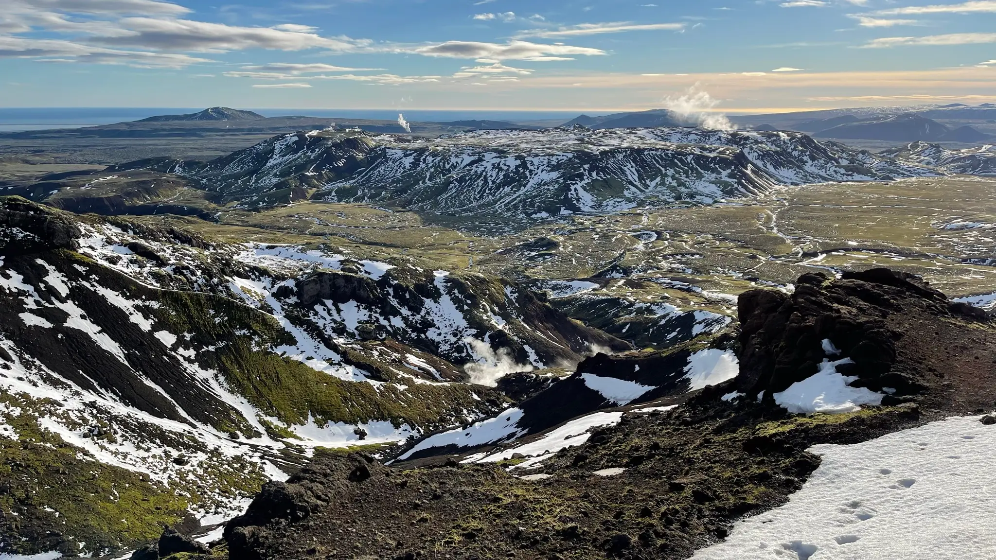
Underfoot the unforgiving rubble of the summit area starts giving way to dirt and moss. The vegetation will become more established the more you descend into Innstidalur.
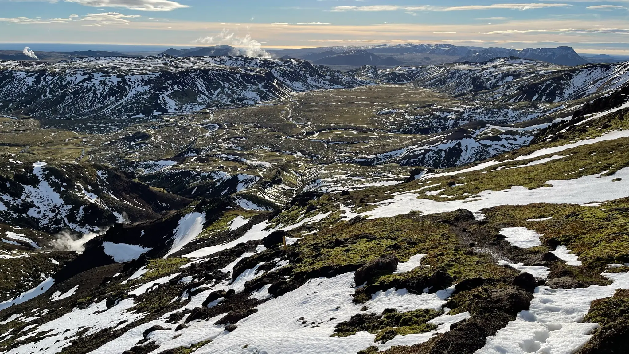
About half-way through the descent into Innstidalur you will encounter another geothermal area to the left of the trail.
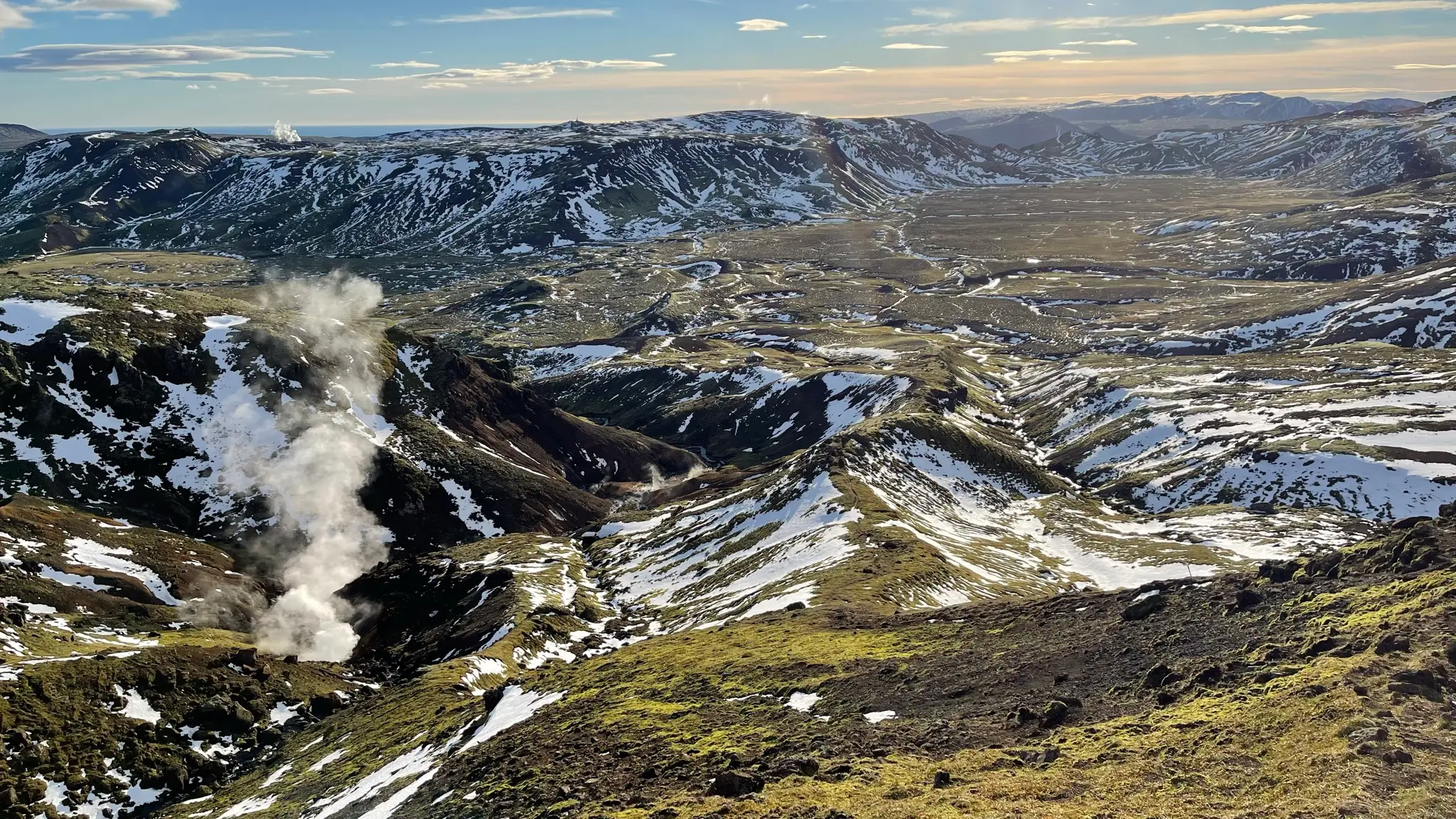
A hot stream bubbles its way through a brightly colored ravine that tracks parallel to the trail.
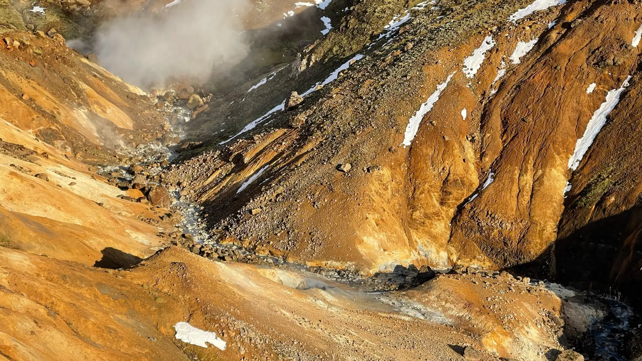
Once at the bottom of the valley, you will pass near a private cabin at 10.5km. The well cared for structure looks out of place in the middle of the Hengill wilderness.
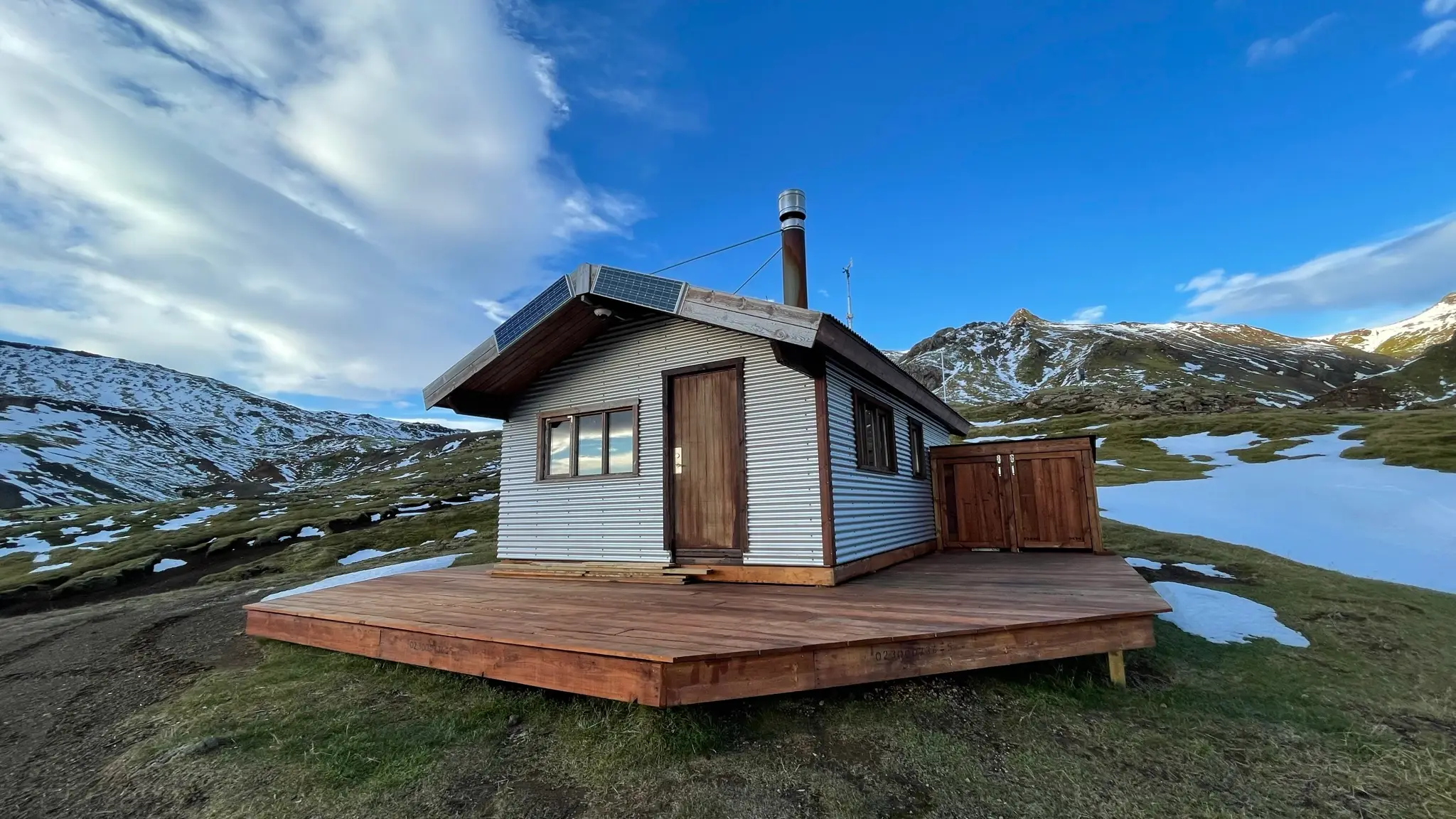
At 10.7km continue heading south along the trail, ignoring the 4x4 track leading west. You will cross a few streams as you traverse the bottom of the valley. Depending on the water level you might need to wade across. At 11.4km you will reach the intersection with the Hveragerði - Sleggjubeinsdalur trail. Head west towards Sleggjubeinsdalur / Sleggjubeinsskarð.
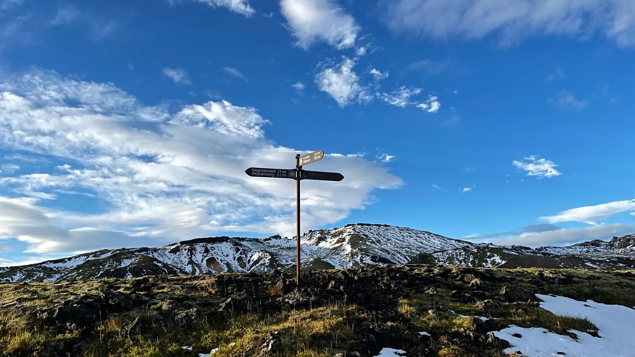
The color of the trail indicators now turns to blue. The path initially stays on the edge of the valley, near a stream.
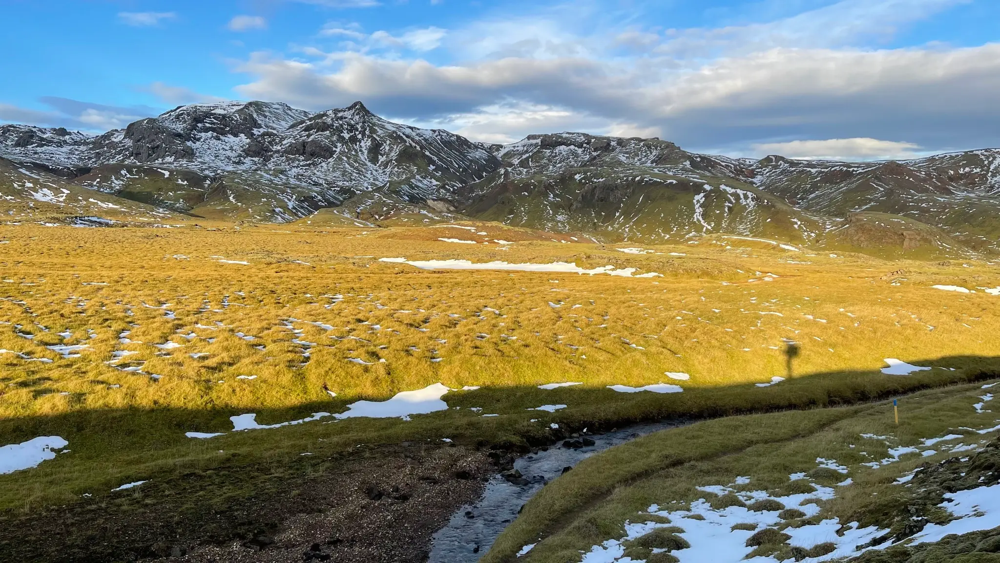
It then crosses the stream and continues west before turning SE through the middle of the grassy field. While generally dry, the valley will have some boggy areas.
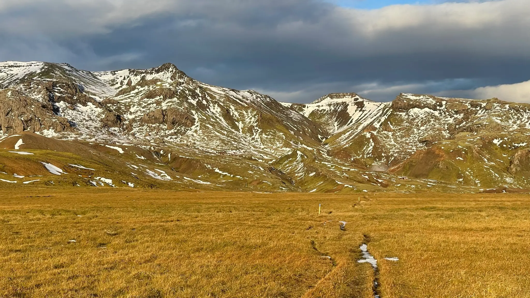
As you approach the Sleggjubeinsskarð area the field ends and the trail edges around a small hill before reaching the pass. Retrace your steps down to the parking lot. Some of the upper portions of the descent have loose scree on the trail.